No no.. we did not drive from New Jersey to New Mexico. Our road trip was from Denver to New Mexico. We were going to be in Denver in September for a wedding. When our plans for the wedding got finalized, we decided that we would visit New Mexico to visit friends who live in Santa Fe. We started our research and planning for the road trip. We decided to spend a day in Taos on the way to Santa Fe. So here goes…
As always, we will start with a little bit of history and geography of the region. New Mexico is in the southwestern US, south of Denver and has Arizona is to its west. Along its southern edge, the state shares an international border with the country of Mexico. Geographically, it is a land of incredible contrast, featuring the high-altitude peaks of the Rocky Mountains in the north, vast high-desert plains, and the dramatic Rio Grande Rift slicing through its center. The State’s highest point at Wheeler Peak (13,161 feet). The rest of the state is defined by dramatic volcanic, desert, and forested ranges like the Sandia, Jemez, and Sacramento mountains.
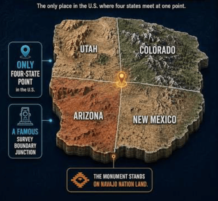
Fun fact : New Mexico also joins Colorado, Arizona, and Utah at the famous Four Corners, the only point in the nation where four states meet.
Now on to the history of this beautiful state … New Mexico’s rich history began over 11,000 years ago with advanced Indigenous cultures, including the Ancestral Puebloans who built complex agricultural societies. Spanish explorers arrived in the 16th century seeking gold, eventually establishing Santa Fe as the capital in 1610. After a period of Mexican rule starting in 1821, the region was ceded to the United States following the Mexican-American War in 1848. New Mexico officially became the 47th U.S. state on January 6, 1912. The Pueblo Revolt (1680), led by Popé, a coalition of Pueblo peoples successfully drove Spanish colonizers out of New Mexico for 12 years, making it the most successful Indigenous uprising against European rule in North American history. During the 20th century, it became a hub for scientific advancement, most notably hosting the Manhattan Project in Los Alamos during World War II. (Source: Wikipedia).
Fun fact: After New Mexico, Arizona became a part of the Union in 1912, Alaska & Hawaii were the 49th and 50th to became part of the US in 1959.
We wanted to drive because this region has some of the most scenic drives in the country through mountains, valleys and flat lands. We took a route called the Enchanted Circle Scenic Route on our drive from Denver–Taos–Santa Fe route. It was a total of about 8 hours of driving (6.5 hours from Denver to Taos and 1..5 hours Taos to Santa Fe. The Enchanted Circle loops directly around Wheeler Peak within the Sangre de Cristo Mountains.The scenic loop completely encircles this massive peak, took us through stunning alpine valleys, dense aspen forests, and high-mountain towns into Taos.
After we checked out of our hotel in Denver, we got on the road in our Nissan SUV to Taos. Google Maps put us on the fastest route which is along I-25 (about 4.5 hours), and we had to keep correcting it to put us on the scenic route. When we reached Col Springs, we took the exit for US 50 West through the spectacular Bighorn Sheep Canyon to US 285 at Salida. US-50 West is carved directly into the canyon, flanked on both sides by steep, rugged cliffs of graphite and dark metamorphic rock (rock description from Gemini) tracking tightly alongside the waters of the Arkansas River. We had some wildlife sightings – bighorn sheep. As we reached the Salida, the jagged rock walls disappeared and we were out in the open, driving through the valley.
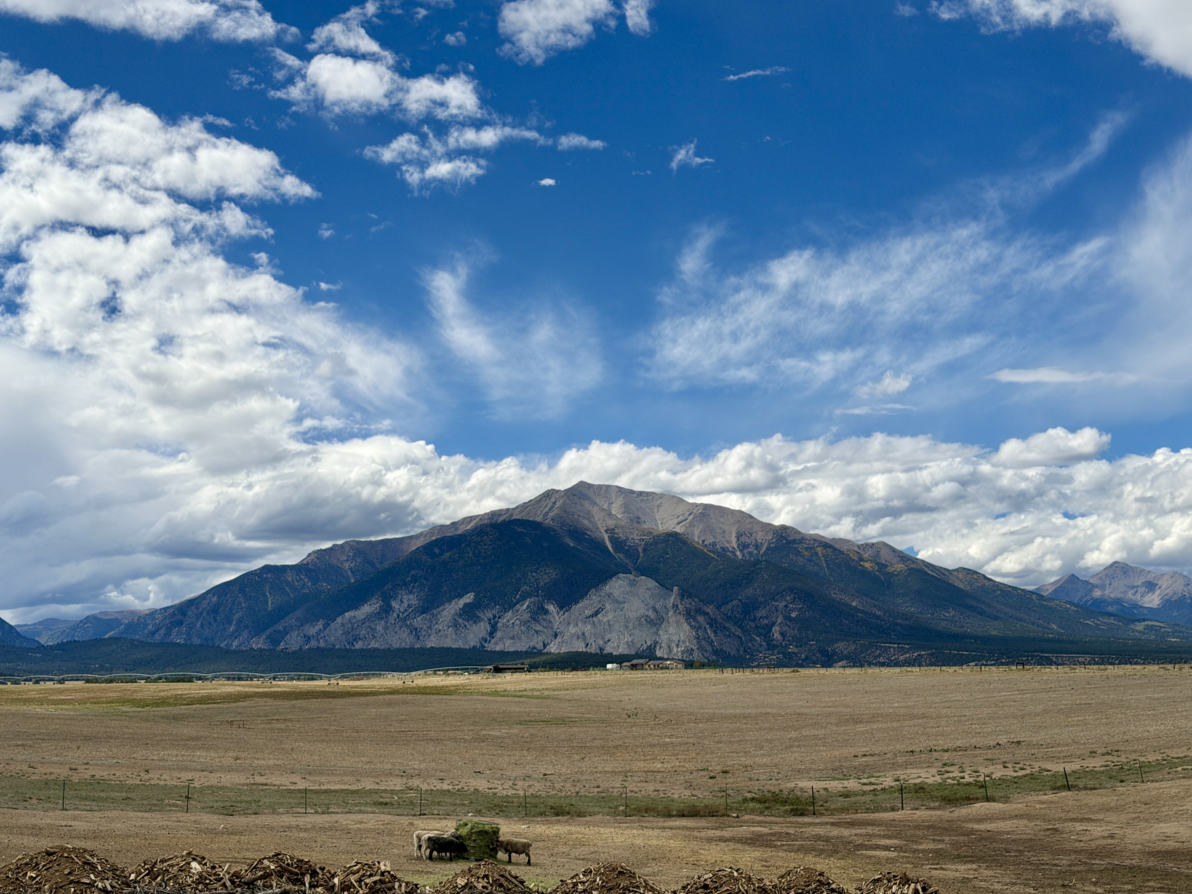
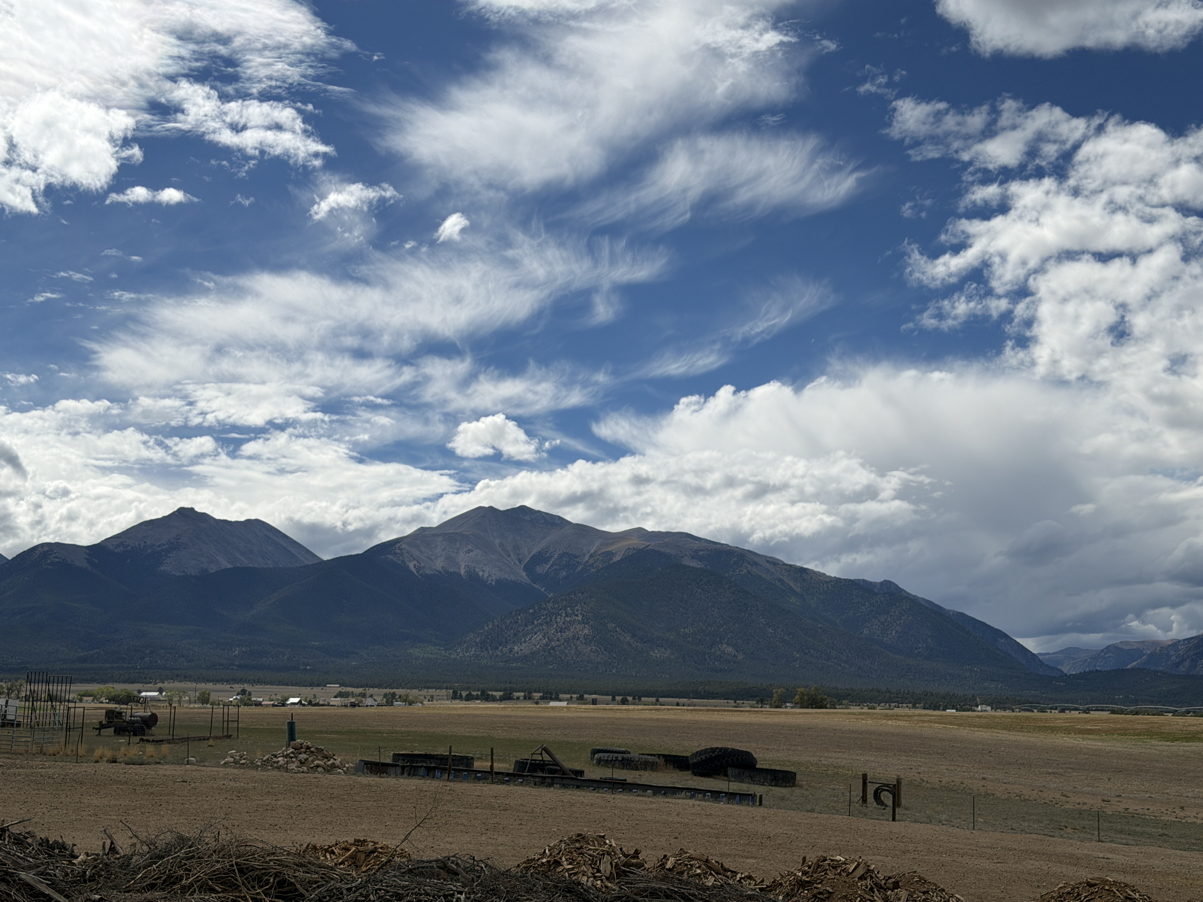
Our first stop was near Nathrop at the Collegiate Peaks Overlook. Thanks to Google Gemini for recommending this stop. The Collegiate Peaks Overlook gave us a stunning panoramic view of a dramatic lineup of 14,000-foot mountains (a.k.a Fourteeners) named after Ivy League universities, including Mount Harvard, Mount Yale, and Mount Princeton.
Fun fact : The mountains are named after Ivy League universities because the early geologists and explorers who mapped the region in the late 1800s were graduates or professors from those prestigious East Coast schools.
The views were mind blowing… very hard to describe, to put the feeling in words and very very difficult to capture in photographs. Here are a couple of pictures, tried my best to capture the splendor
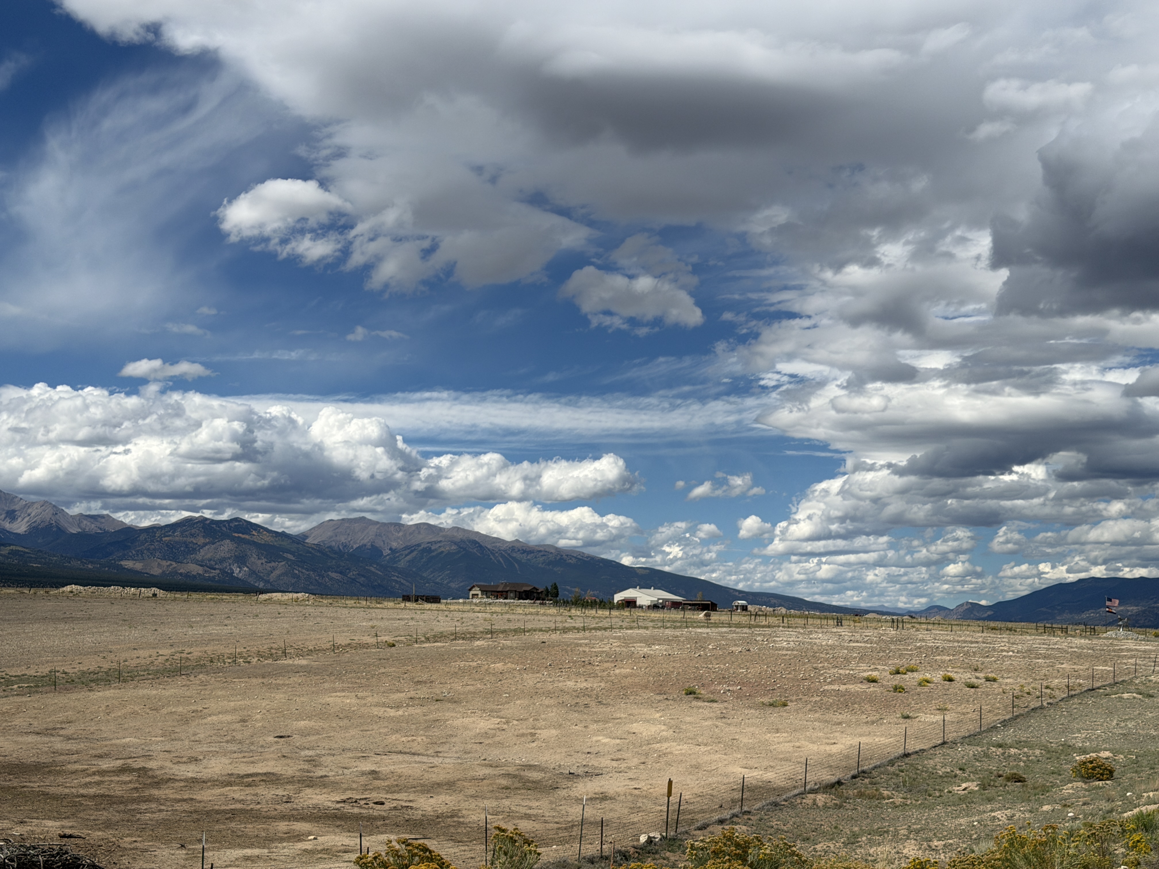
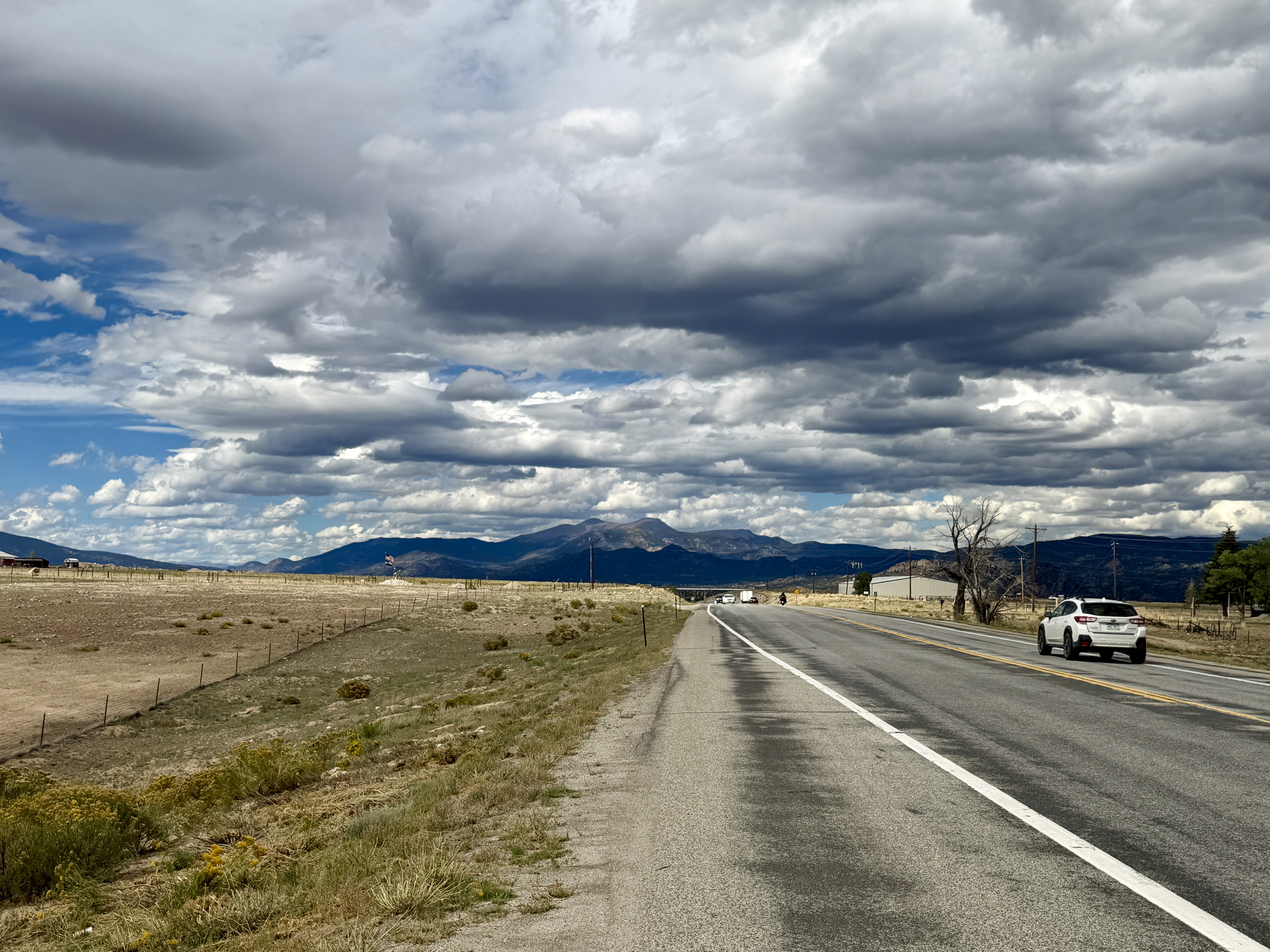
After a short break, we resumed our drive to Taos through the Ponchas Pass Summit along US 285 into the San Luis Valley. We were already at about 8900 feet (Denver is 5279 ft.). The highway straightens out into a vast, high-altitude desert basin flanked by the dramatic Sangre de Cristo Mountains on your left. From US 285, we took CO 17 South which runs parallel to 285. CO 17 is very long stretch of highway for almost 70-80 miles, providing breathtaking views of the Sangre De Cristo Range. The valley floor is so flat, that the peaks look like they are almost bursting out into the sky. Unbelievable experience. The Blanca Peak a massive mountain (14, 345 feet tall) is the fourth-highest peak in Colorado and is considered a sacred mountain by the Navajo people.
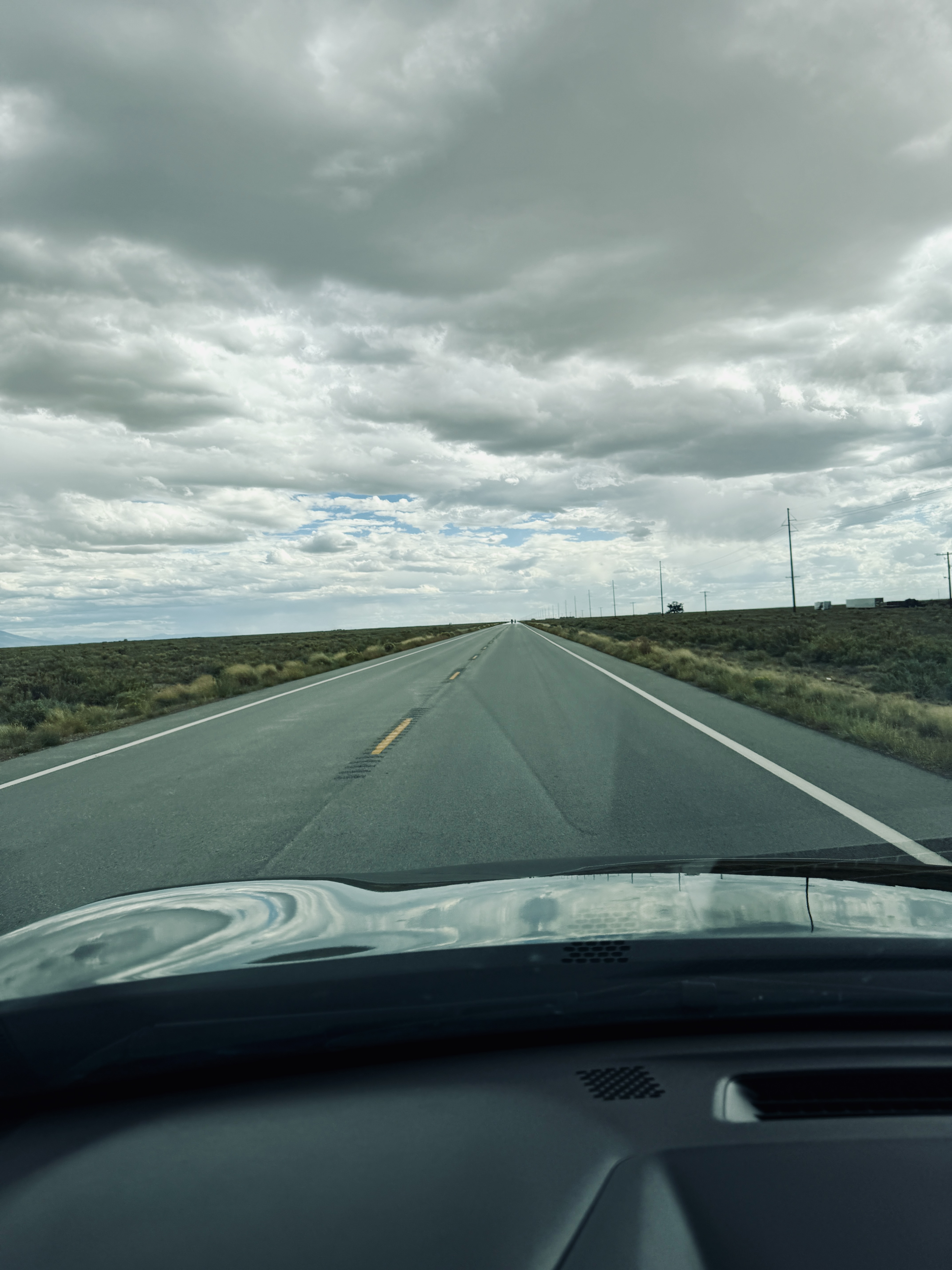
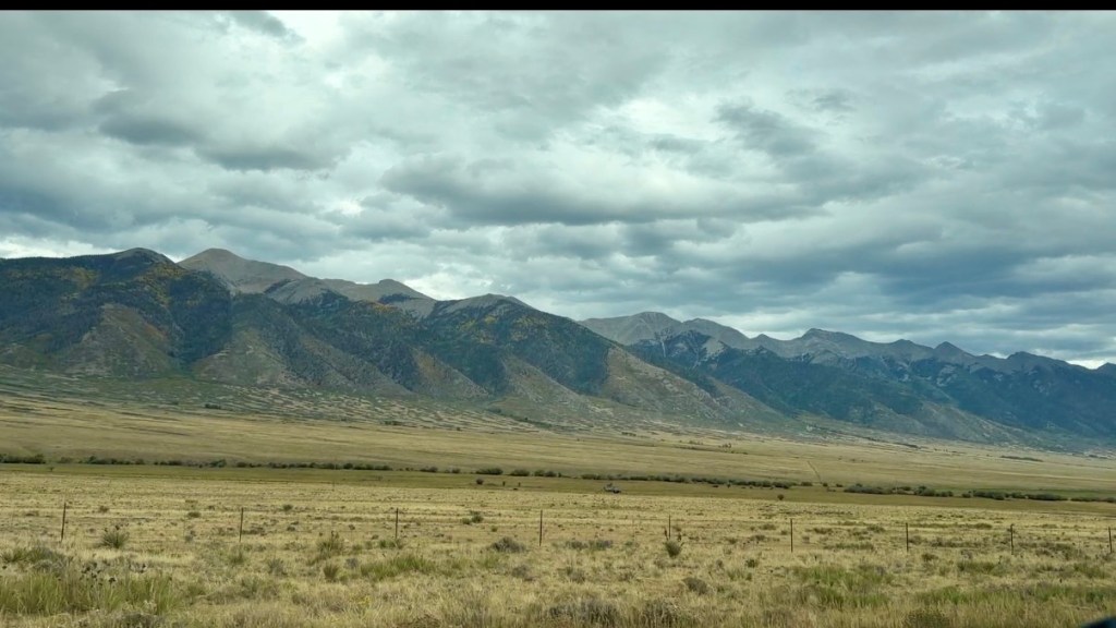
The exit for the Great Sand Dunes National Park is right off CO 17. These are the tallest sand dunes in the USA. We read about the dunes and were tempted to take the detour, but decided against it. I’m sure we will regret this, but it was going to add 90 min to our already long drive. When we reached the town of Antonito, CO 17 brought us back to US 285. The landscape began to change as we approached the border of New Mexico – from a flat, high-alpine farming basin to a vast, rugged volcanic plateau. The change is distinct and very sudden as we left the town of Antonito.
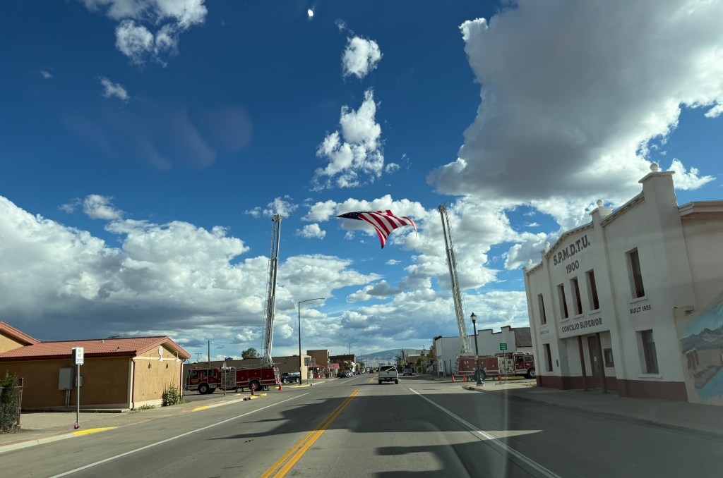
The drive on US 285 in New Mexico took us into the Taos Plateau and we saw two very tall mountains – San Antonio and Ute Mountains. These volcanic cones (the mountains are very rounded, different from the rigged, jagged peaks in CO). After we drove past San Antonio Mountain and reached the Tres Piedras junction and turned left to US-64 East. This is the final stretch to Taos, but there is one more landmark / scenic spot we were looking for – the Rio Grande Gorge.
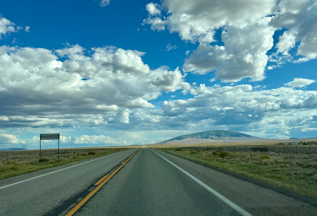
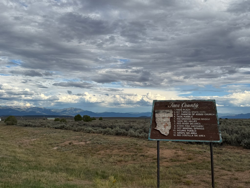
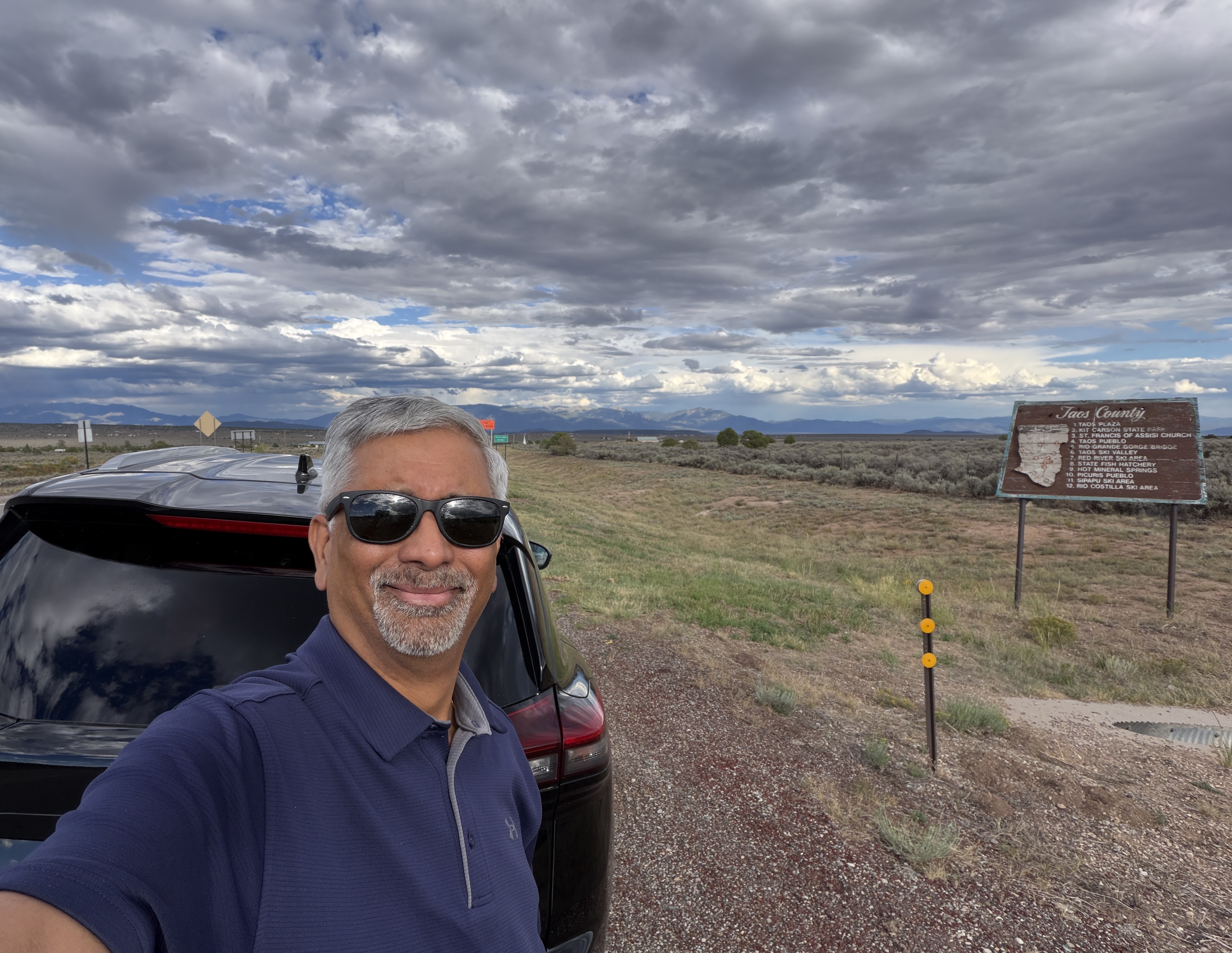
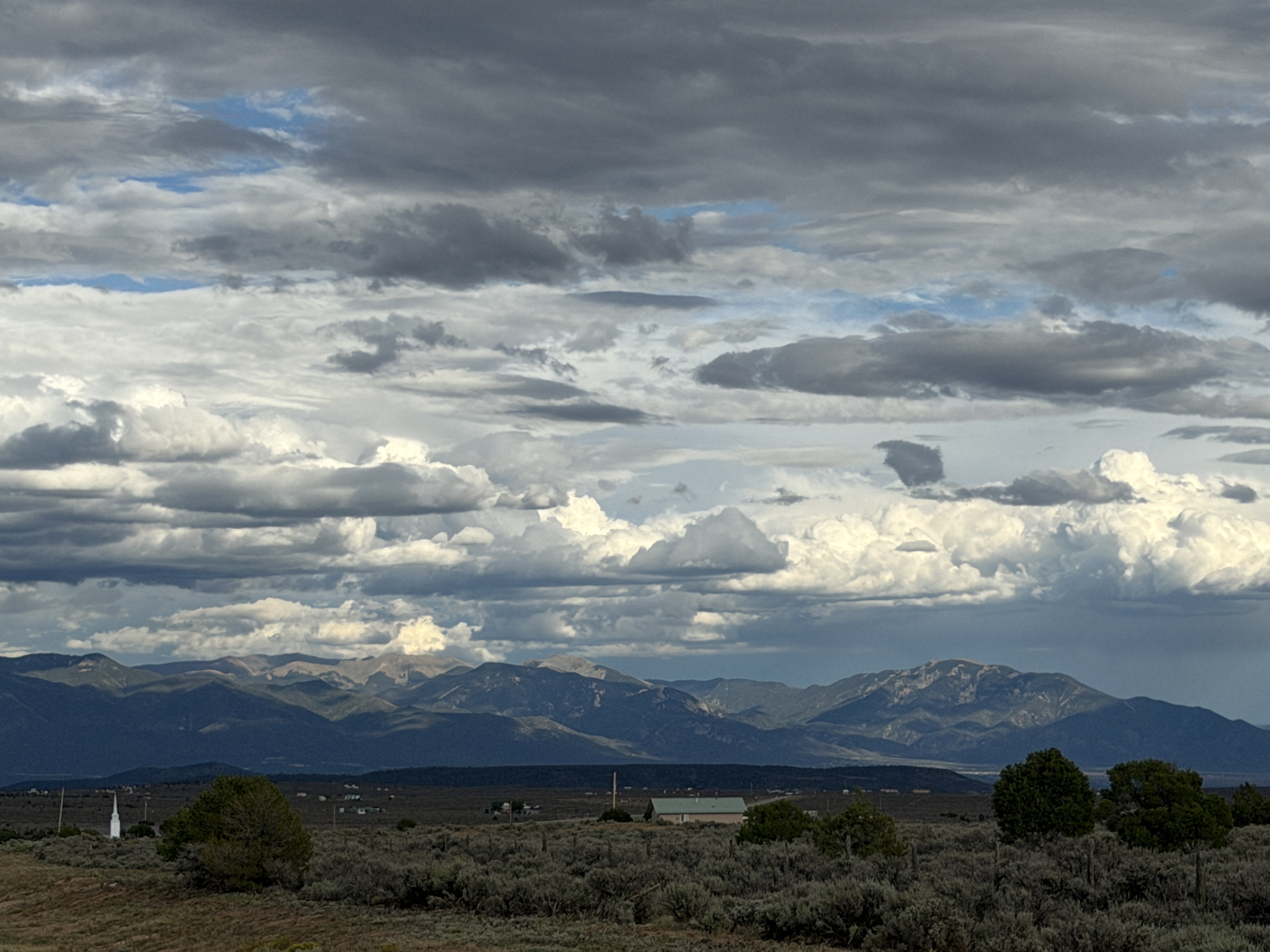
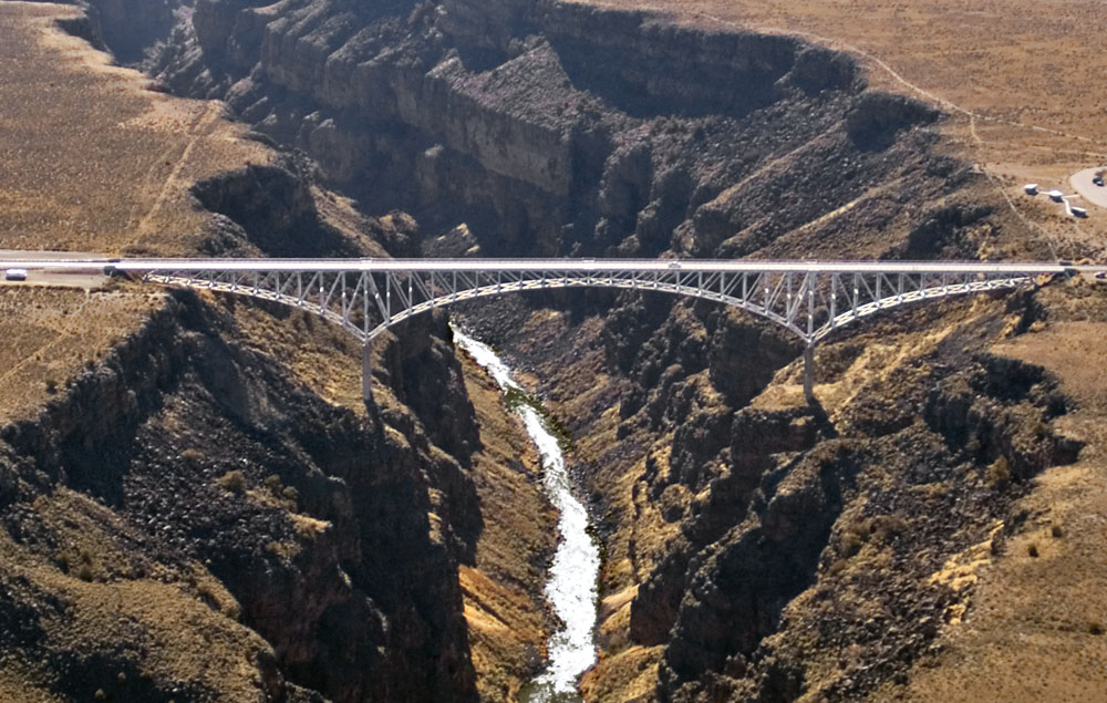
The Rio Grande Gorge is a dramatic, 800-foot-deep volcanic canyon carved into the dark volcanic rock of the Taos Plateau. The Rio Grande Gorge was formed over the last 400,000 years as the modern Rio Grande sliced like a knife through thick layers of ancient volcanic basalt lava filling the Rio Grande Rift (thanks Gemini). I read that the best view of the Gorge is from the Rio Grande Bridge and I saw beautiful pictures of sunset at the gorge. Unfortunately, we were too early to see sunset at the gorge. We drove right through, but we got a view of the massive gorge from the bridge. We were now about 6 hours into our drive and were tired.. looking forward to getting to our hotel in Taos.
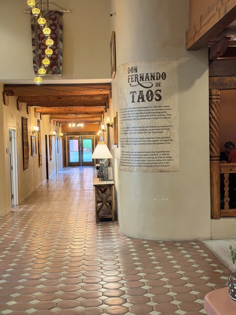
Taos is a pretty, little and a historic mountain town nestled at the base of the Sangre de Cristo Mountains, famous for its rich blend of Indigenous culture, Spanish colonial history, and world-class arts scene. The Taos Pueblo (a pueblo is both a traditional Native American community and a unique style of architecture native to the Southwestern US), is a UNESCO World Heritage Site. It was one our list of places to visit on Day 2 of our trip.
Taos is a pretty, little and a historic mountain town nestled at the base of the Sangre de Cristo Mountains, famous for its rich blend of Indigenous culture, Spanish colonial history, and world-class arts scene. The Taos Pueblo (a pueblo is both a traditional Native American community and a unique style of architecture native to the Southwestern US), is a UNESCO World Heritage Site. It was one our list of places to visit on Day 2 of our trip.
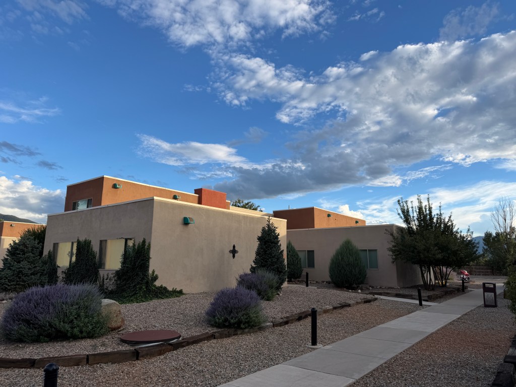
Day 2 – We left our hotel to visit the Taos Pueblos. It was a short 15 min drive to get there. The tickets to visit the Pueblos were $ 25 per adult. As we got out of our car, we could feel the sun beating down on us, almost piercing through our skin. The temperature was only 79 degrees but it felt like it was 95 degrees. We immediately regretted not having caps or an umbrella.
(I read later that Taos (and Santa Fe) feel intensely hot because their extreme high altitude (7,000 feet) exposes your skin to 30% stronger UV rays through a thinner atmosphere. This effect is magnified by exceptionally low humidity, which instantly evaporates sweat and accelerates dehydration)
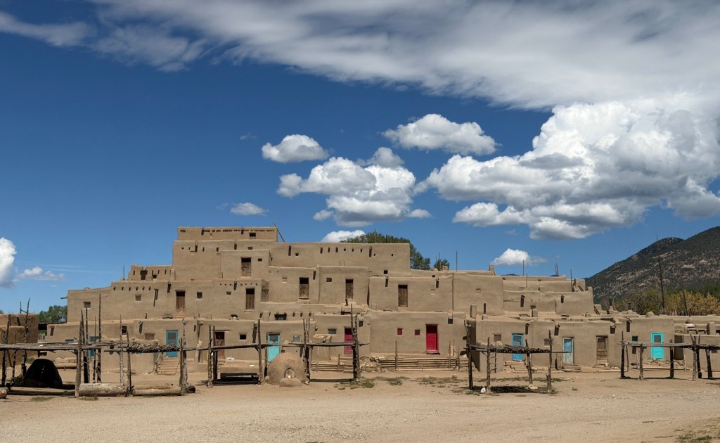
We entered the Pueblo to see an adobe village with two complexes of houses separated by a creek. These adobe houses are built of sun-dried mud, straw and water. I read that these adobe houses need a lot of maintenance ( regular replastering of walls, checking for water damage etc.) We saw a few workers re-plastering the walls of a church. These houses have been continuously inhabited by the Tiwa-speaking Taos people for over 1,000 years. Some of the buildings rise up to five stories high in a stepped design where upper levels were traditionally accessed only by wooden ladders. The ladders are lowered through hatchways in the roofs. Designated as a UNESCO World Heritage Site, it serves as a powerful, living monument to Indigenous architectural genius.

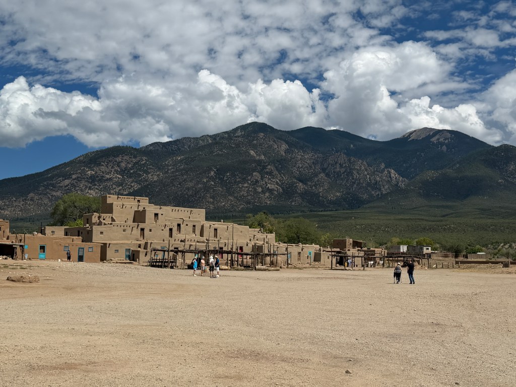
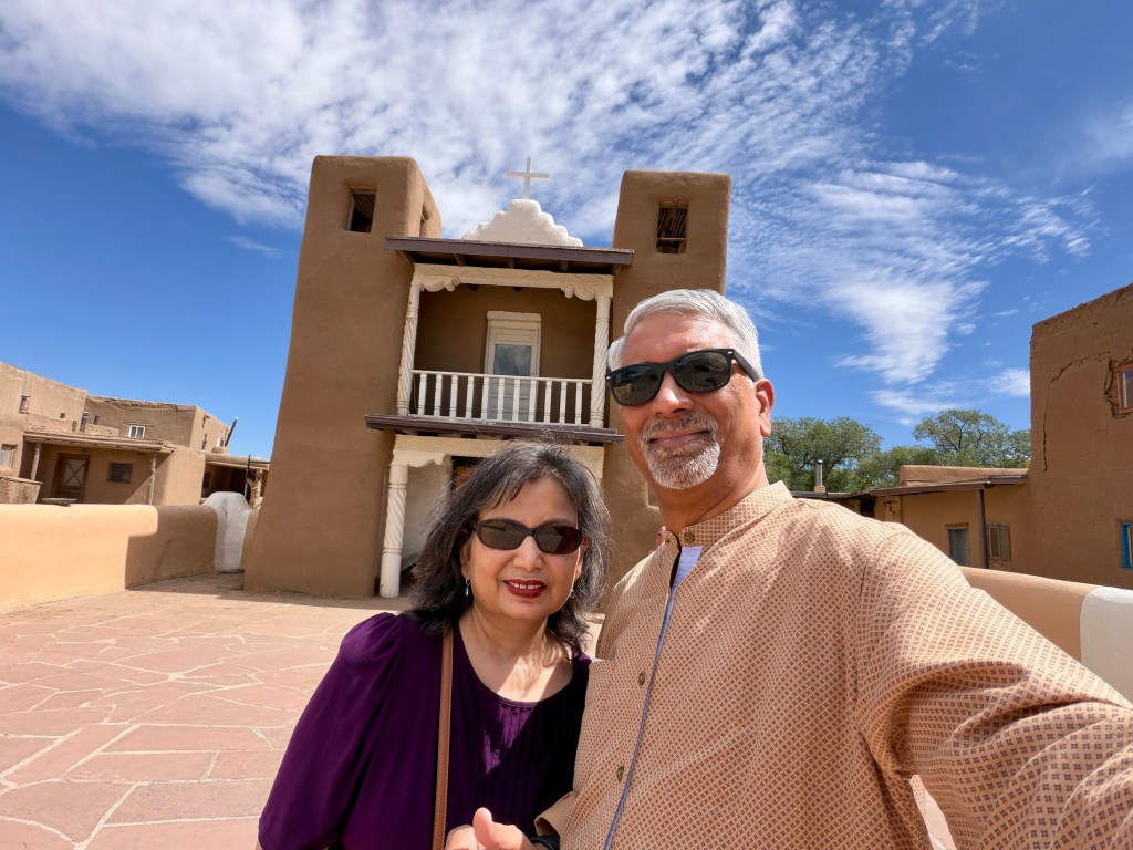
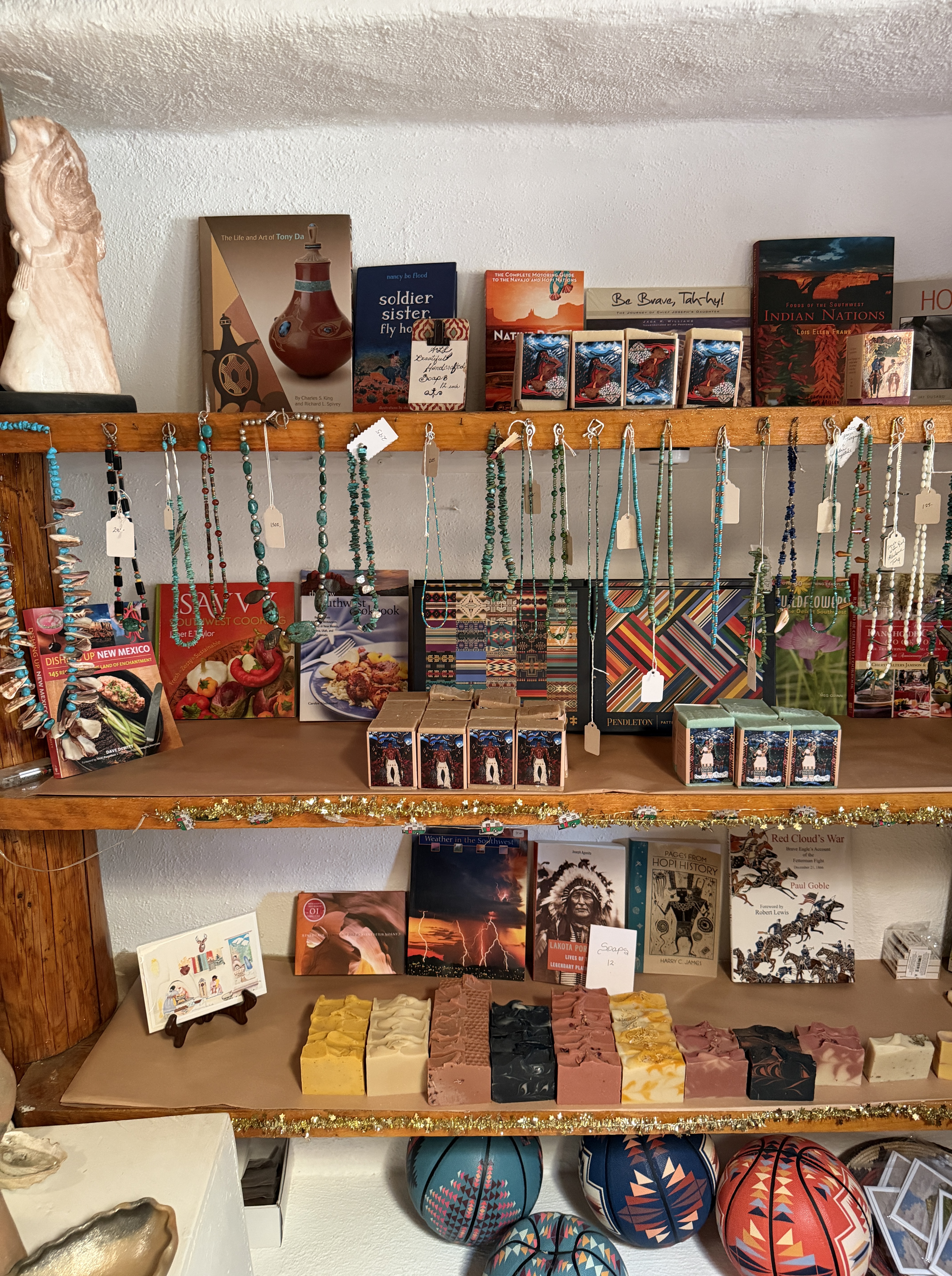
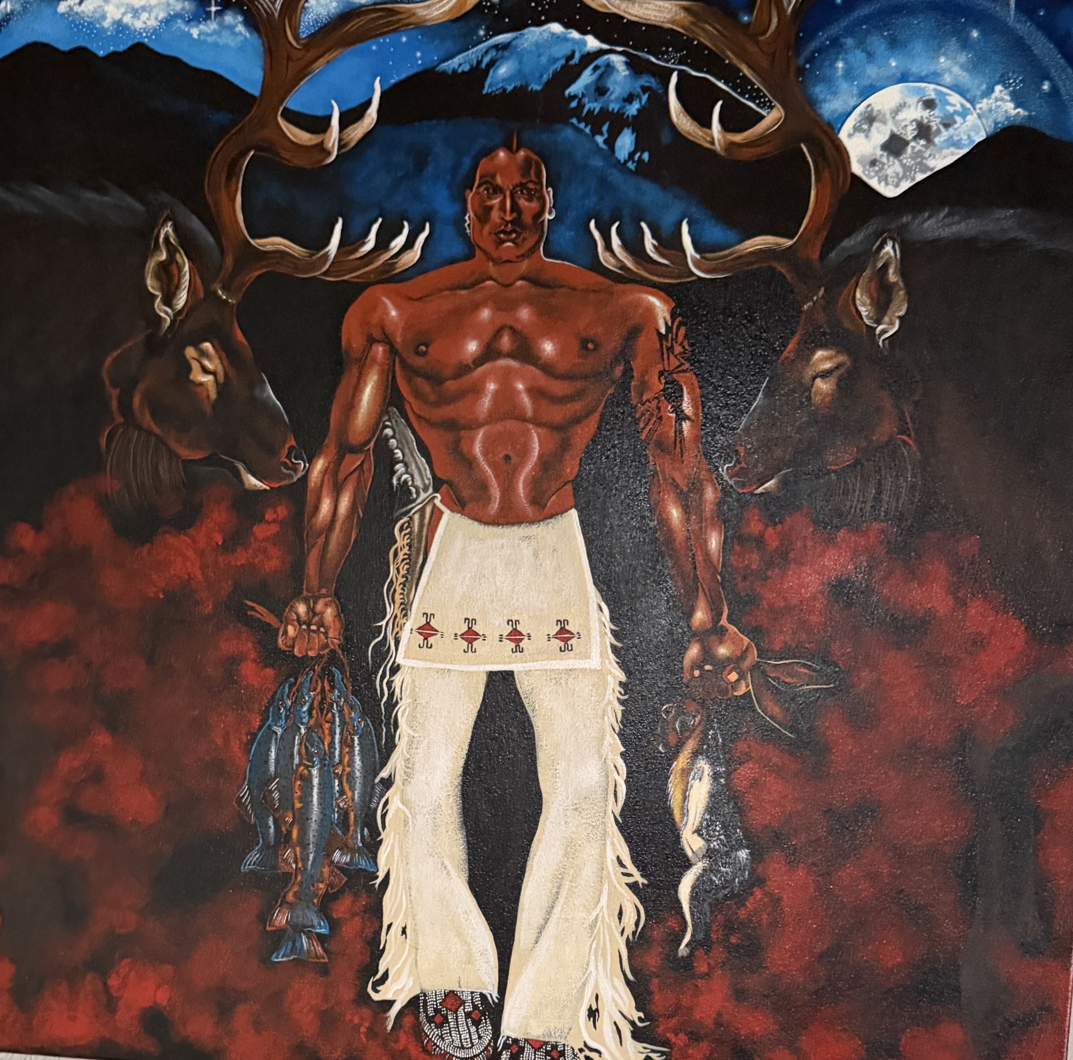
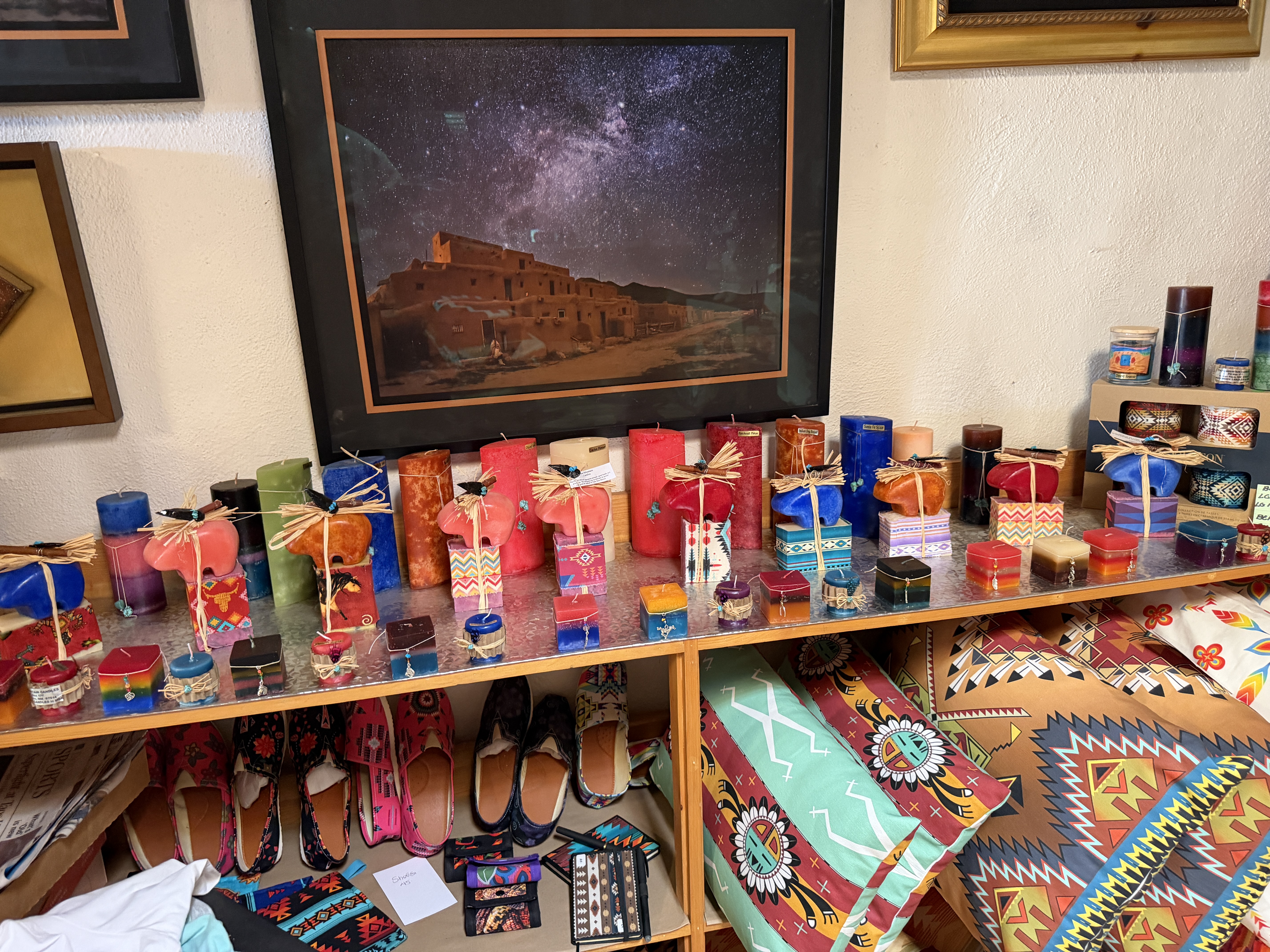
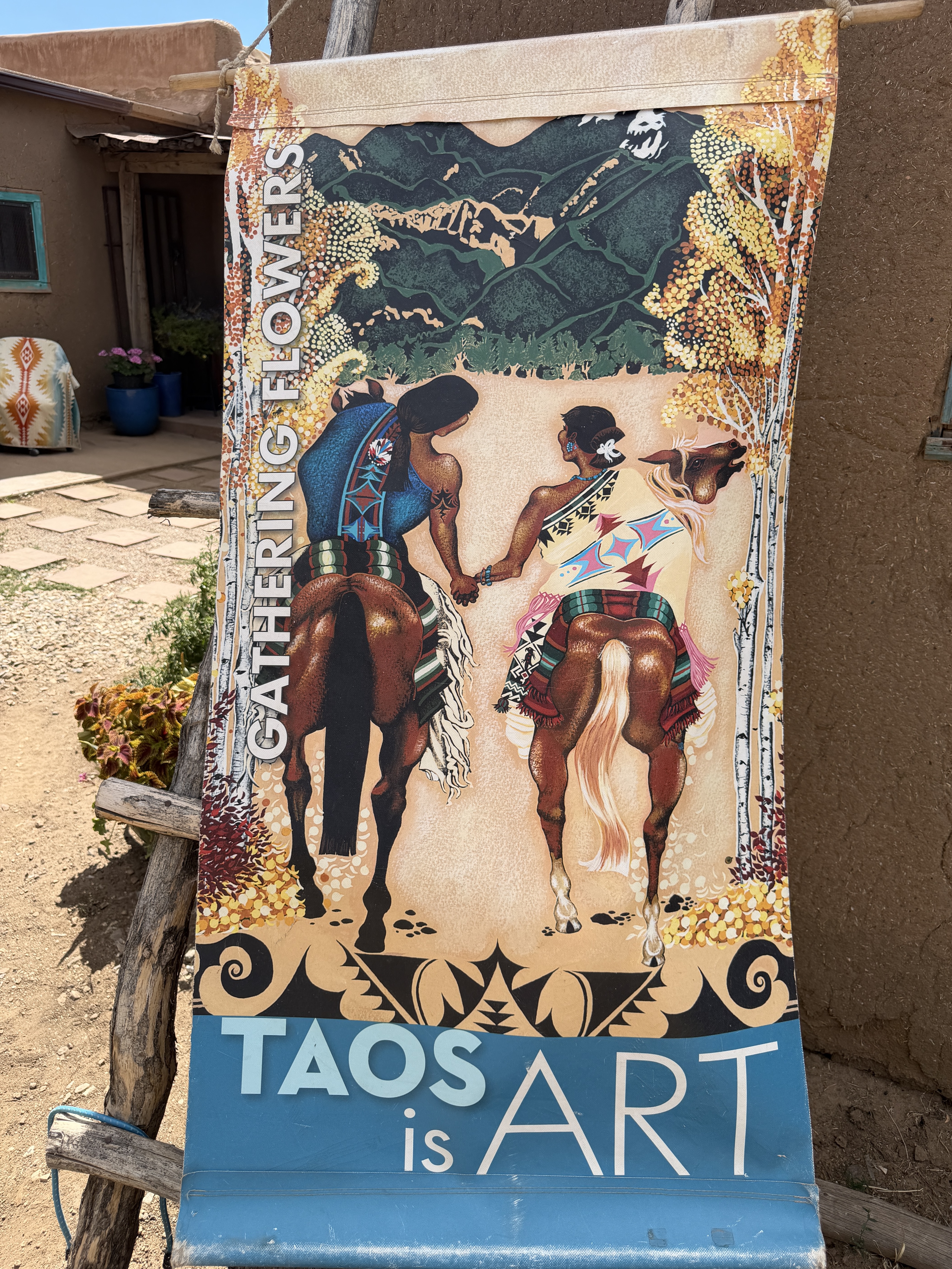
We walked around the Pueblo, went into a few of the homes which were really shops selling art, jewelry and souvenirs. I noticed that a lot of the silver jewelry had turquoise stones in them. I picked one of them for my wife and saw the price tag said 2250. I thought it was $ 22.50, it was $2,250. I quietly put it back on the table. I made a mental note to read more about the reason for turquoise availability in this region. We tried to find shaded areas to get a break from the sun and going into these homes / shops was one way to do it. After about an hour here, we slowly made our way back to our car. Next stop was the famous Hanuman Temple.
Fun facts:
- Turquoise is abundant in New Mexico because ancient volcanic activity combined copper and desert groundwater to form rich mineral deposits, notably at the historic Cerrillos mines. Indigenous cultures have revered it as a sacred stone, a tradition that evolved into today’s world-famous Southwestern silver and turquoise jewelry.
- Adobe construction is an ancient method that mixes local clay-rich soil, water, sand, and straw into bricks that are dried slowly in the desert sun. These thick mud walls create excellent thermal mass, naturally keeping the inside of buildings cool during scorching days and radiating stored warmth at night. It is one of the oldest architectural traditions in human history and remains a defining feature of the American Southwest.
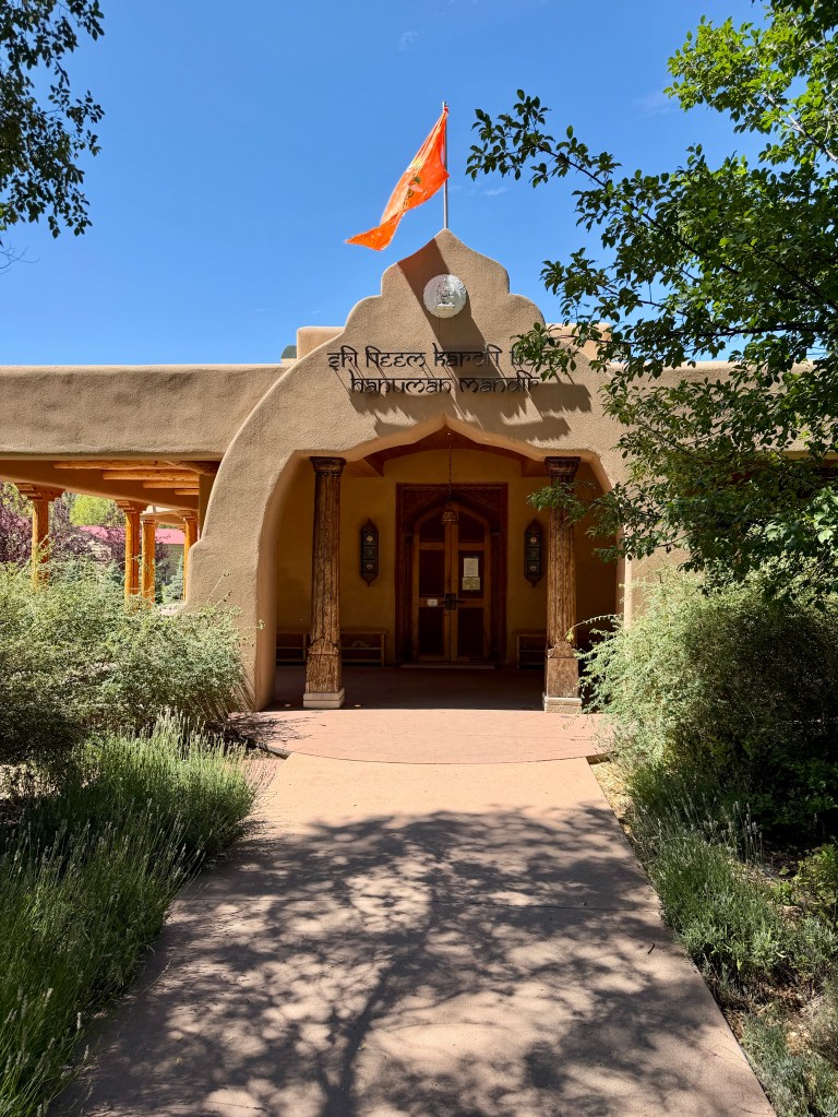
We had heard a lot about the Hanuman Temple from our friends in Denver who have visited the temple a few times. Why a temple in Taos and a Hanuman Temple. The temple is located inside an Ashram (Neem Karoli Baba Ashram) and is just a few min from the Taos Plaza. The ashram was established by western followers of the Baba in the 1970s. The ashram is a sprawling 10 acre campus which houses the temple, a meditation room, residential quarters, a kitchen and a gift shop. The temple a large, open airy enclosure with several glass windows and a large marble statue of a flying Hanuman (first time we’ve seen a flying Hanuman idol) carved in Jaipur, India. After a quiet prayer, we sat down for a few minutes to soak in the serene atmosphere. We walked around the beautiful ashram, made our mandatory visit to the gift shop and started walking back to the car (I was hoping for a Julia Roberts sighting., but no such luck. I was told she’s a regular at the ashram).
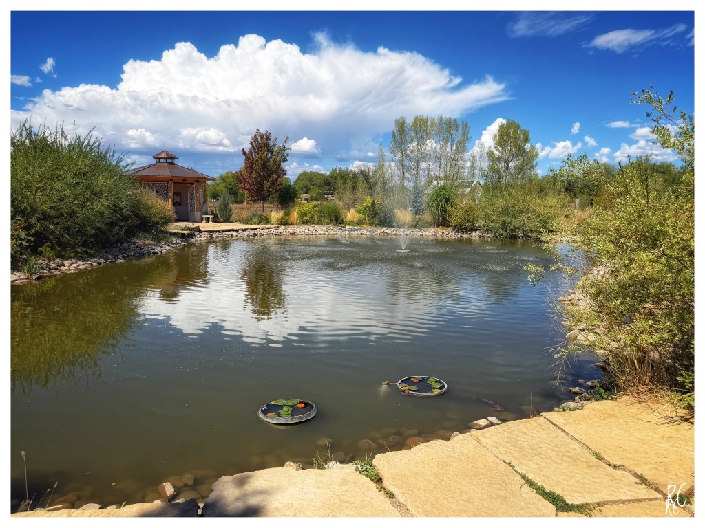
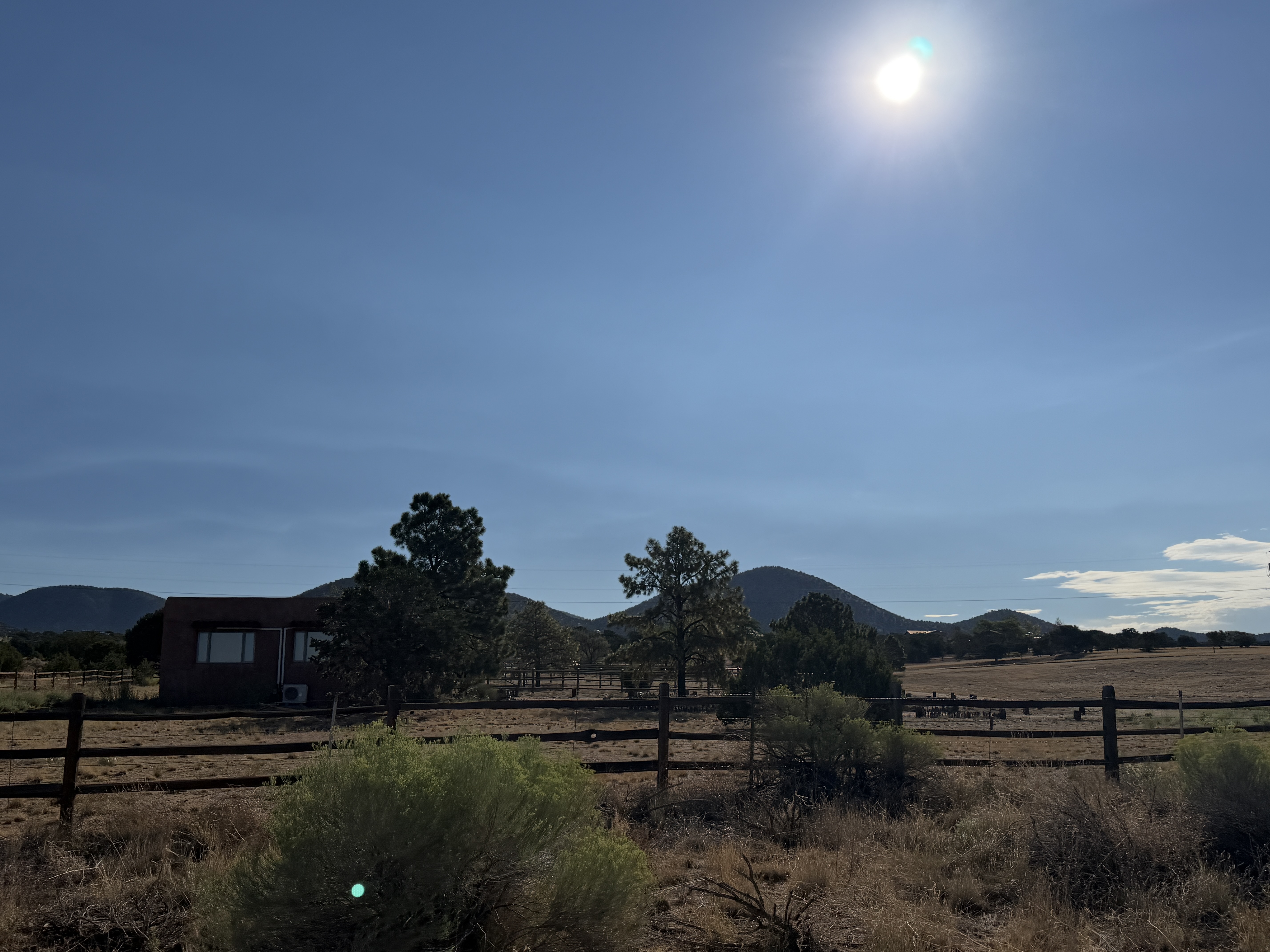
Our drive to Santa Fe was about 90 min, short and uneventful. It was quite scenic all along the way. We were going to stay with our friends for the next 3-4 days in Santa Fe. Our friends (Ned & Kim – not their real names) live in the mountains on a 5 acre ranch. This was our first visit and we were excited to see them and to hang out with them our the next 3-4 days. We were also here to attend a wedding and we were told this is the Fiesta weekend. A perfect cocktail for heady experience.
We pulled into our friend’s ranch, found the place without much difficulty (Google Maps is not the most reliable here). After a quiet evening, some bourbon and wings, we called it a night.
Day 3 – Ned suggested that we drive into Pecos Canyon State Park. The park located N.E of Santa Fe is within the scenic Sangre de Cristo Mountains and is surrounded by the Santa Fe National Forest. We drove for about an hour to get to the Pecos River ( some parts of the park were closed due to forest fires). N told me that they are experiencing drought and the water levels in the river are at historic lows. We hiked along the river and Nel told me stories about his fly-fishing and mountain camping trips. This section of the Pecos River winds through a sun-drenched mountain canyon where towering pines and lush, grassy banks frame the crystal-clear water. I absolutely loved the deeply tranquil, atmosphere, the quiet broken only by the sounds of the river flowing over the rocks. A serene escape from the rest of the world. After a couple hours it was time to head back home.. as we made our way back to our truck, I saw two big white bears, and I froze right there.. only to realize a few moments later that they were big xxx dogs not bears (much to my relief and disappointment). Our drive back home was uneventful. We spent the rest of the evening at home, more bourbon and catching up on life.
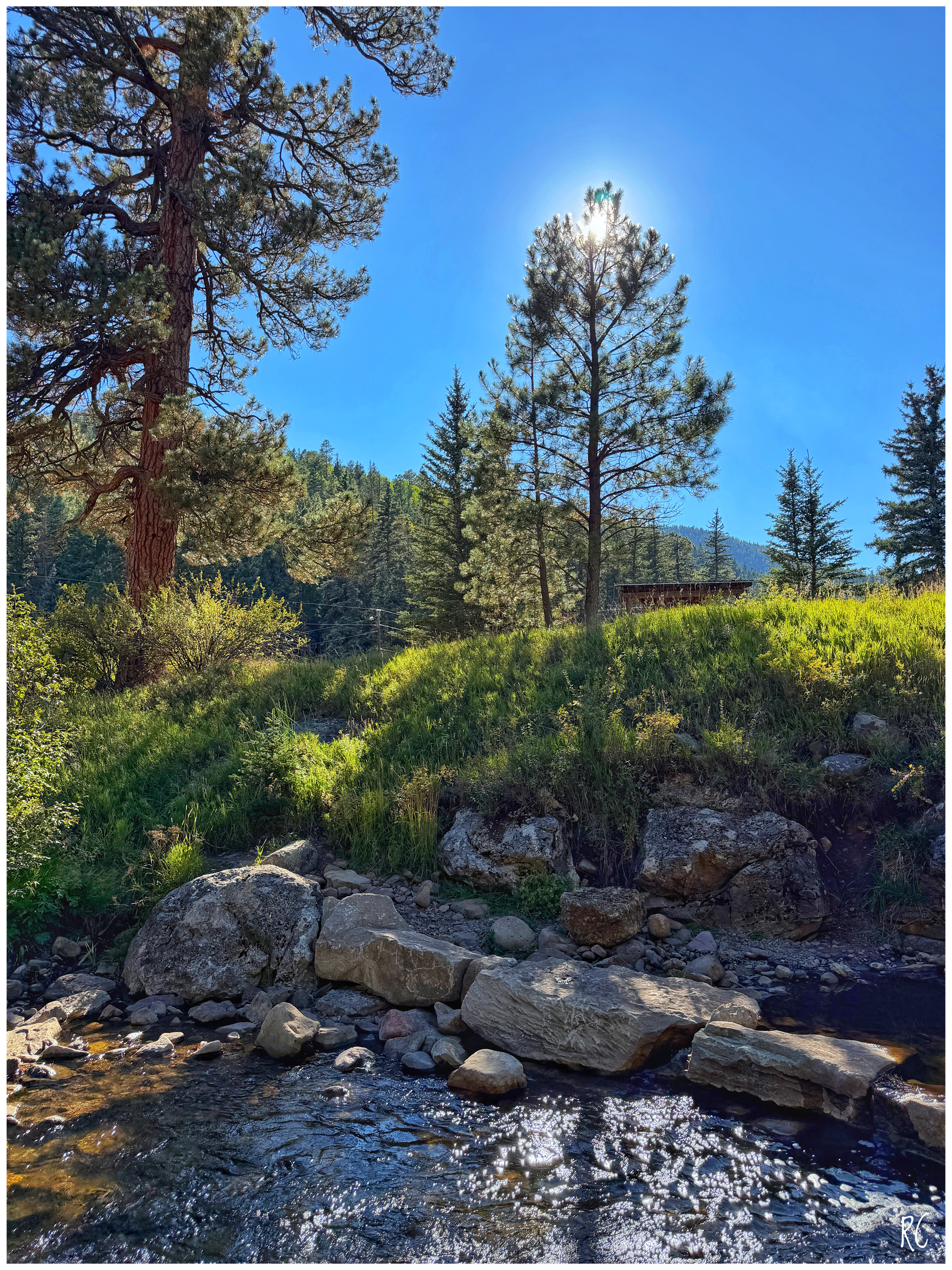
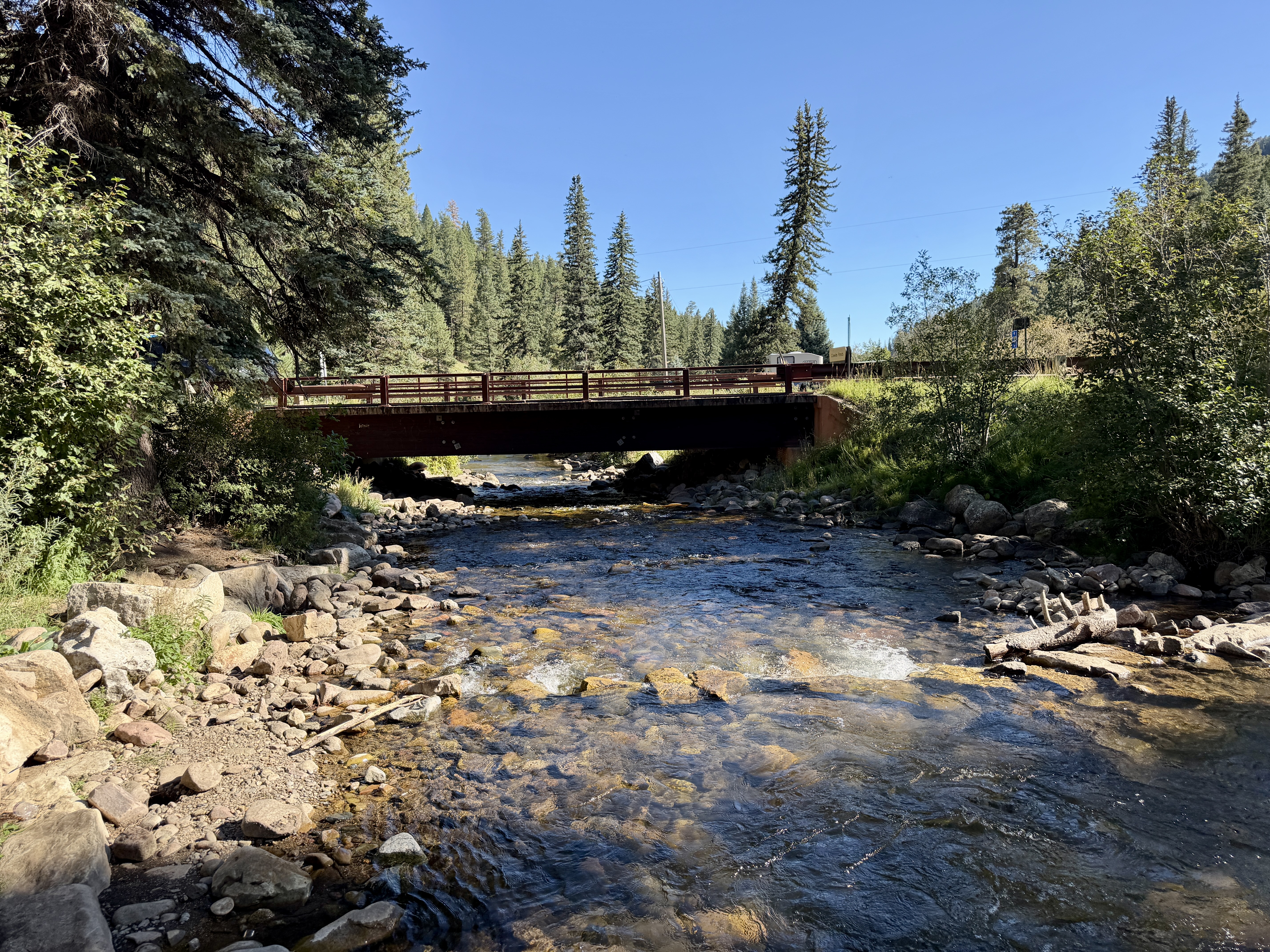
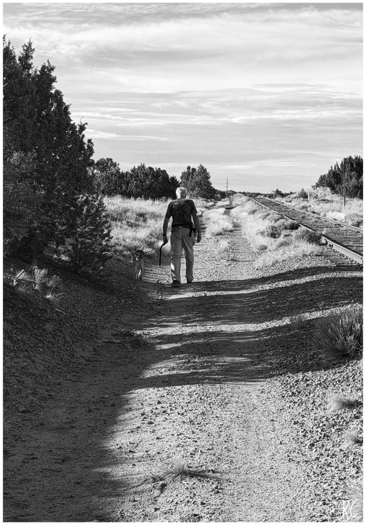
We were off to an early start on Day 4. We decided to go on hike on Nel’s fav trail. We got out as the sun was rising up in the mountains to the East. We wore sunscreen and gear to protect us from the hot sun and the intensity of the UV rays. After a short ride, we were at the trail and stared off on the uneven path that ran along the train tracks ( that go all the way north to Denver). We completed our 5 mile hike over the next 2 hours we did not see too many people along the way. We met an older gentleman walking with his dog and a couple of guys on their mountain bikes. And we also met a small snake, I thought it was a rattle snake, but Ned told me it just a mountain snake. (Didn’t make a difference.. to me all snakes are dangerous and bad).
Later that evening we were at the New Mexico Museum of Art for the welcome dinner of the wedding. After a fun evening of good food, song & dance and lot of fun, we got back to the ranch.
Day 4 – After brunch we went to downtown Santa Fe to check out the attractions and the Fiesta festival. A little history on Santa Fe and the Fiesta..
Santa Fe was founded by the Spanish in 1610 on ancestral Pueblo lands, making it the oldest state capital in the United States. After the Pueblo Revolt of 1680, which successfully expelled the Spanish for twelve years, General Don Diego de Vargas led a resettlement of the city in 1692. To honor his initial peaceful reentry, which he attributed to the intercession of the Virgin Mary, de Vargas vowed to host an annual celebration. This vow led to a 1712 proclamation that officially established the Fiesta de Santa Fe, which remains the oldest continuous civic celebration in the nation. Over the centuries, the festival evolved to include the iconic burning of Zozobra and transitioned away from controversial conquest reenactments to focus on cultural unity, reflection, and community healing.
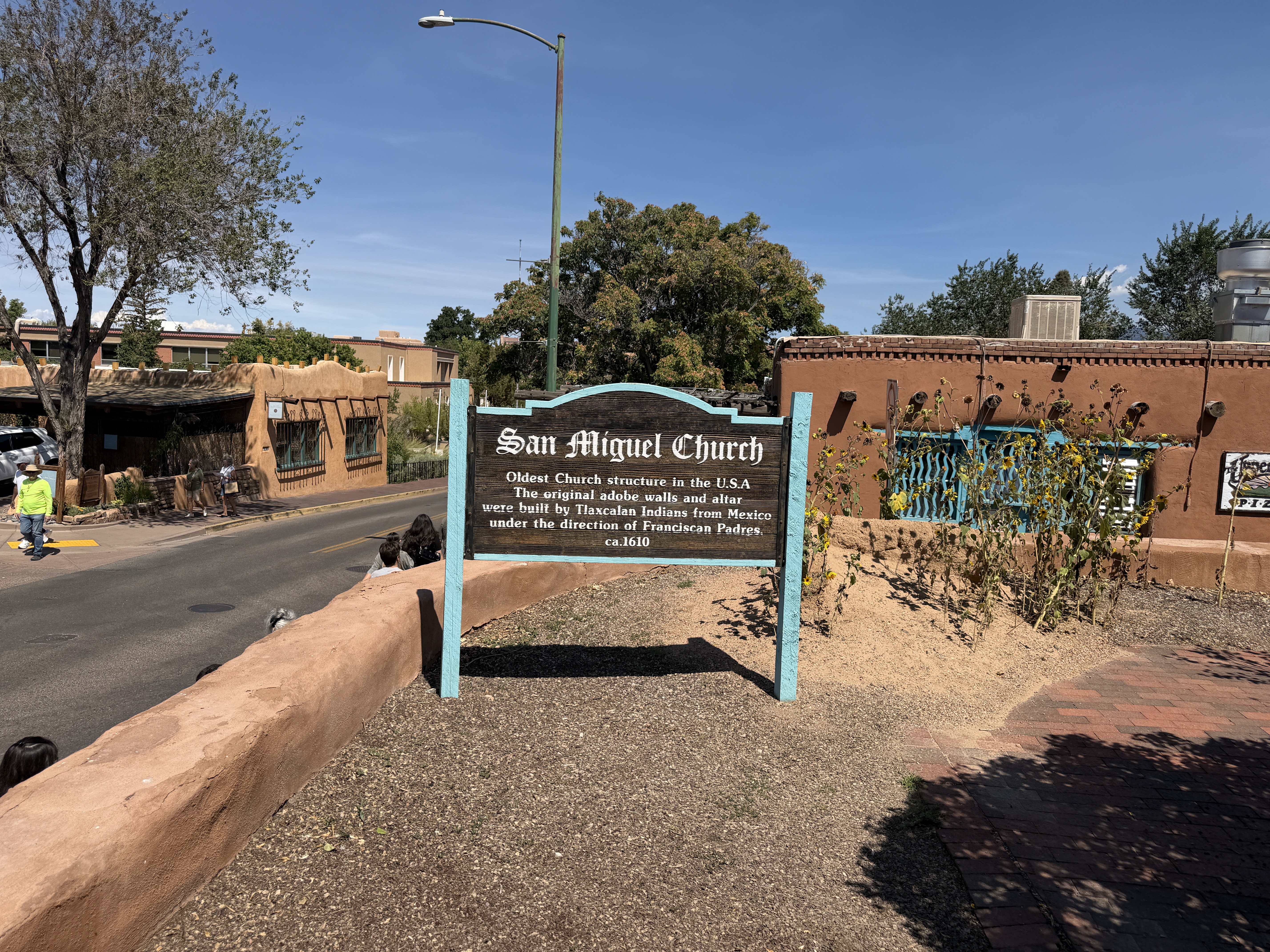
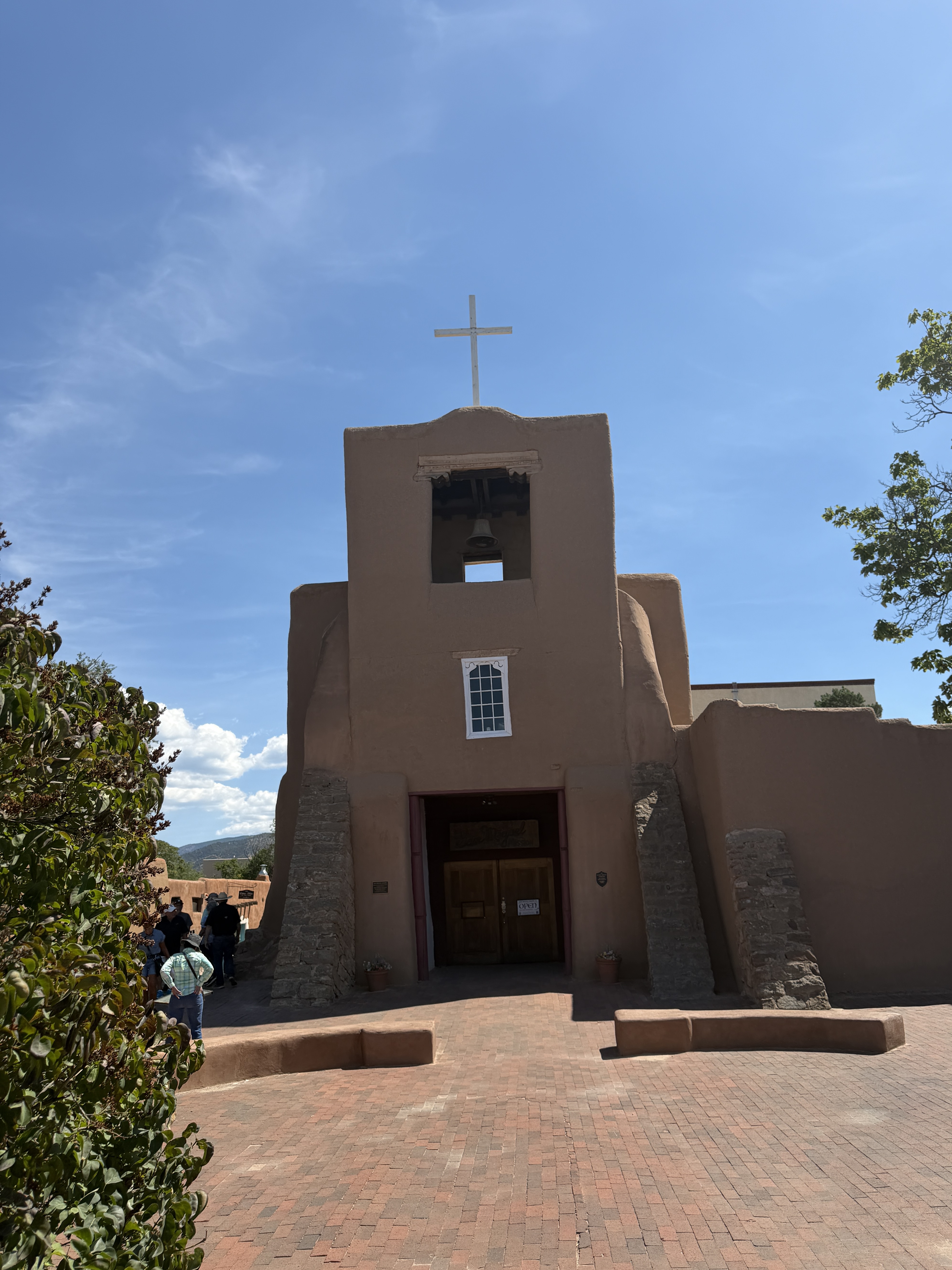
We parked at the PERA parking lot right off Paseo de Perlata and walked into downtown. As we were heading up north on the Old Santa Fe Trail, we walked up to the San Miguel Chapel at the intersection of Paseo de Peralta and Old Santa Fe Trail. This building is famous for being the oldest church structure in the continental United States (built around 1610). Its thick, fortress-like adobe mud walls, heavy stone buttresses flanking the entrance, and square central bell tower are the classic hallmarks of early Spanish colonial architecture.
Continuing north up Old Santa Fe Trail for about two blocks, we reached the Loretto Chapel on our right. The Loretto Chapel was built in 1873, and is famous for its “Miraculous Stairway”, a spiral helix constructed without a central support column, nails, or glue. According to legend, a mysterious carpenter built the structure using only basic tools and vanished without payment after completing the 360-degree turns. We did not have time to go inside to see the “miraculous stairway”.
Fun fact: The original architect who designed the chapel (he famous Sainte-Chapelle in Paris) died before the construction was complete. Since the architect did not plan for the stairs, there wasn’t space for building a traditional stairs. The Sisters of Loretto who were getting the chapel constructed prayed for nine days. A mysterious carpenter showed up and completed the construction of the stairs.
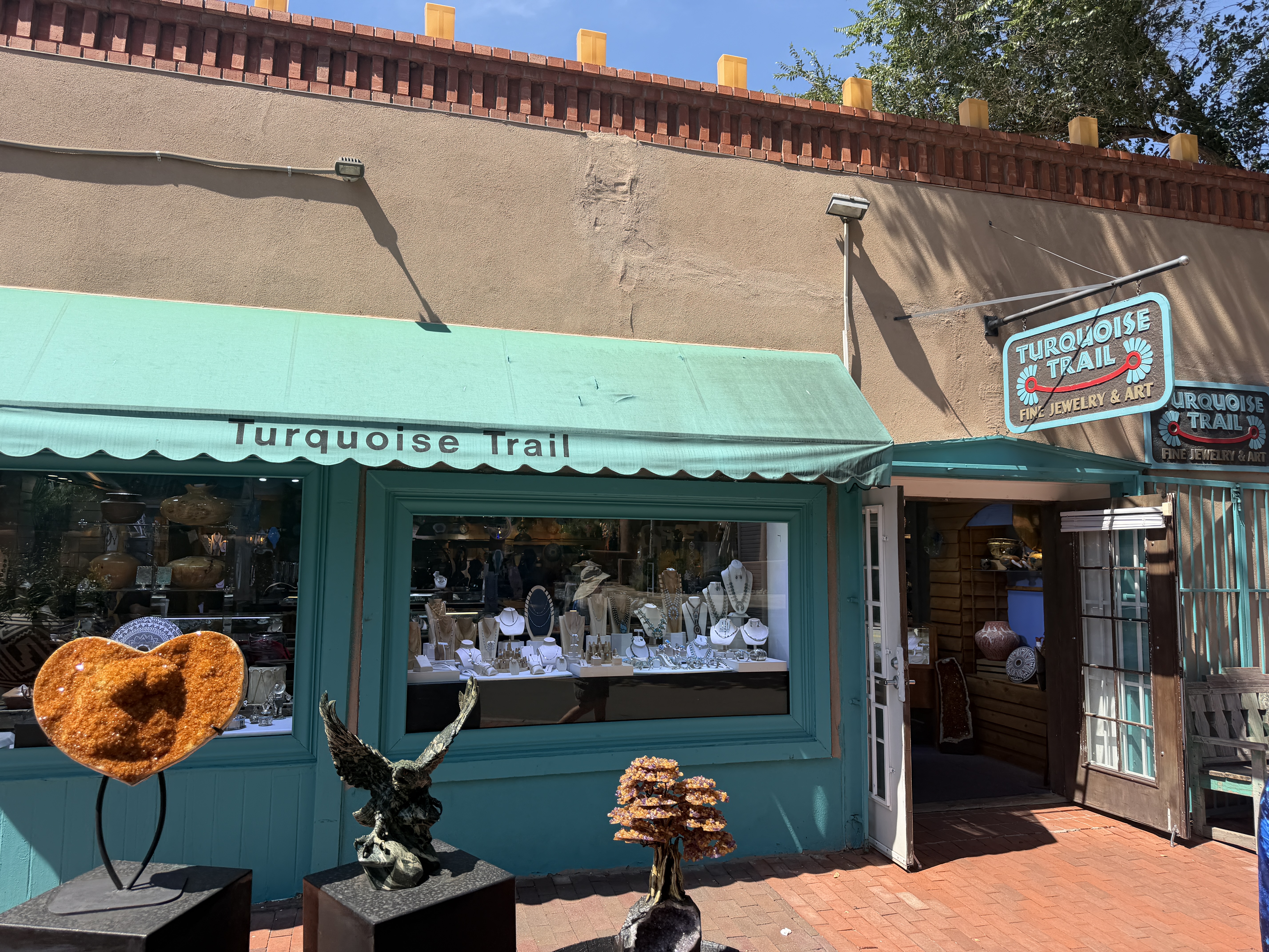
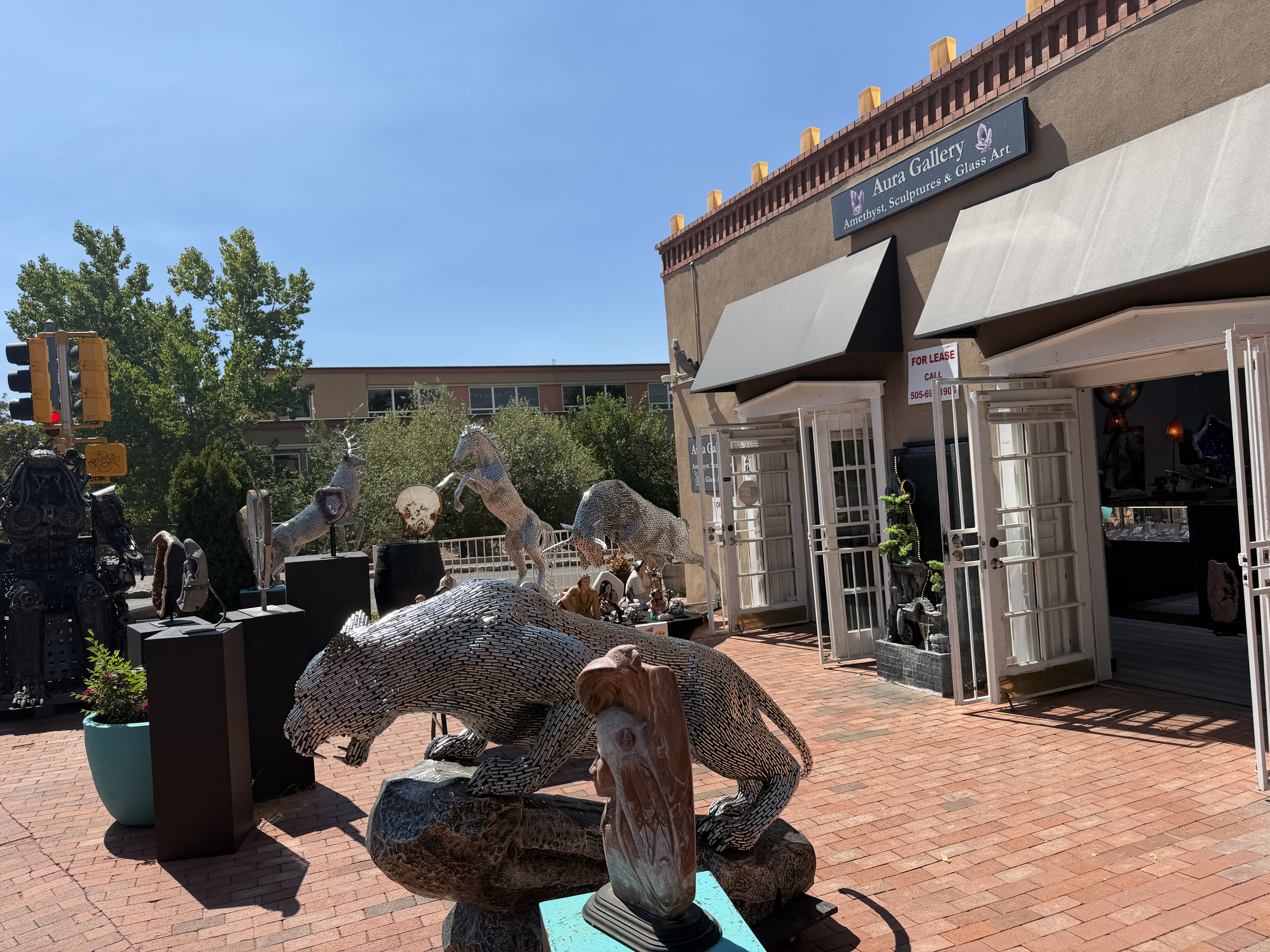
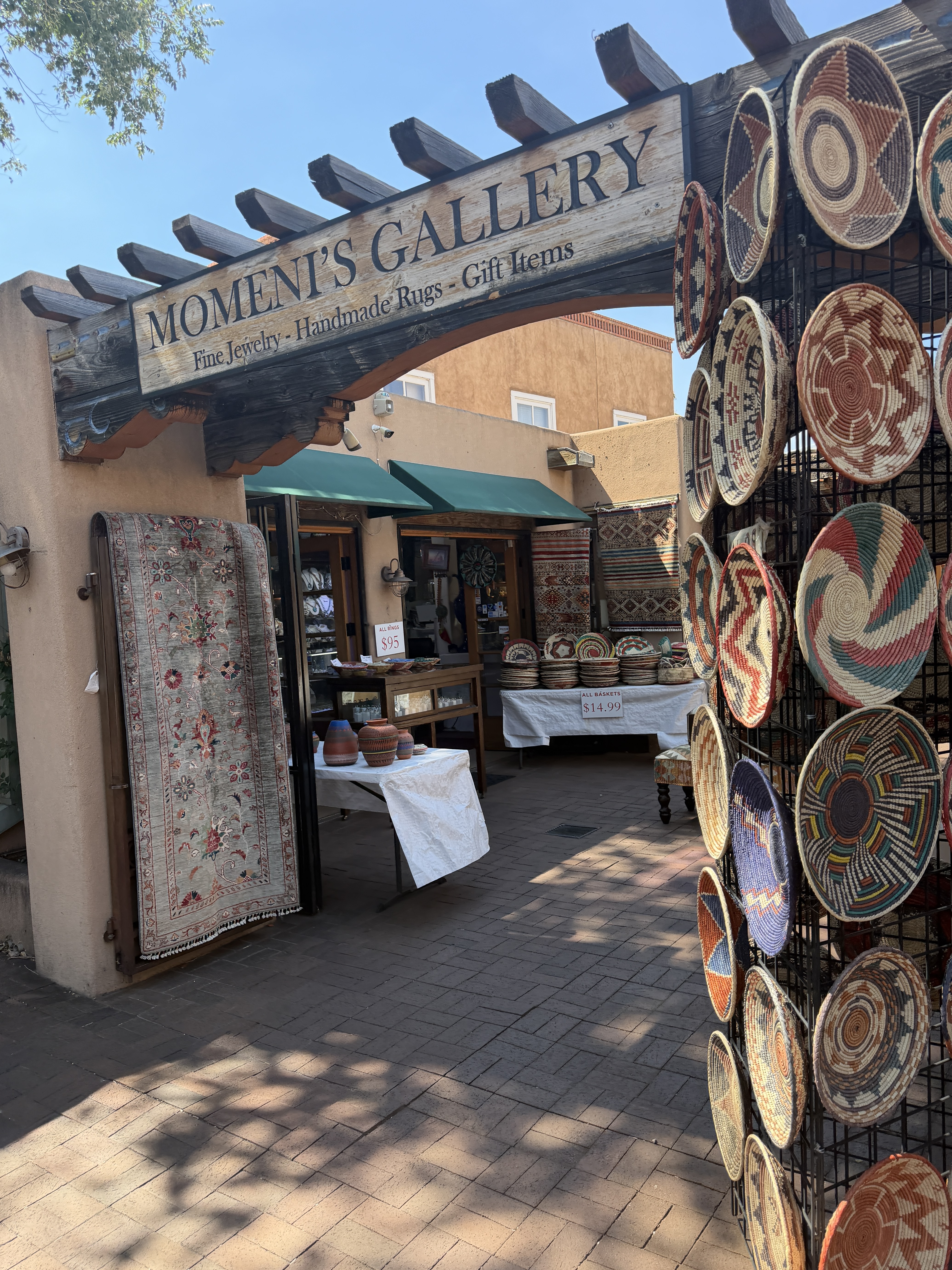
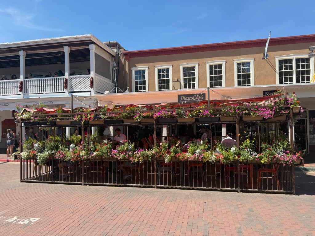
From here as we walked to the plaza we walked by the Momeni’s Gallery, Aura Gallery and Turquoise Trail which showcase a rich and colorful array of intricate, hand-woven Persian and Afghan rugs alongside antique collectibles. The eye-catching exterior of Turquoise Trail Jewelry displayed and windows gleaming with authentic New Mexican turquoise, silver, and gold jewelry. We now reached the plaza where the festivities of the Fiesta were in full swing. We heard a band playing the popular song by Chuck Berry Go Johnny Go.. and folks on the street were dancing, jiving to this peppy number.
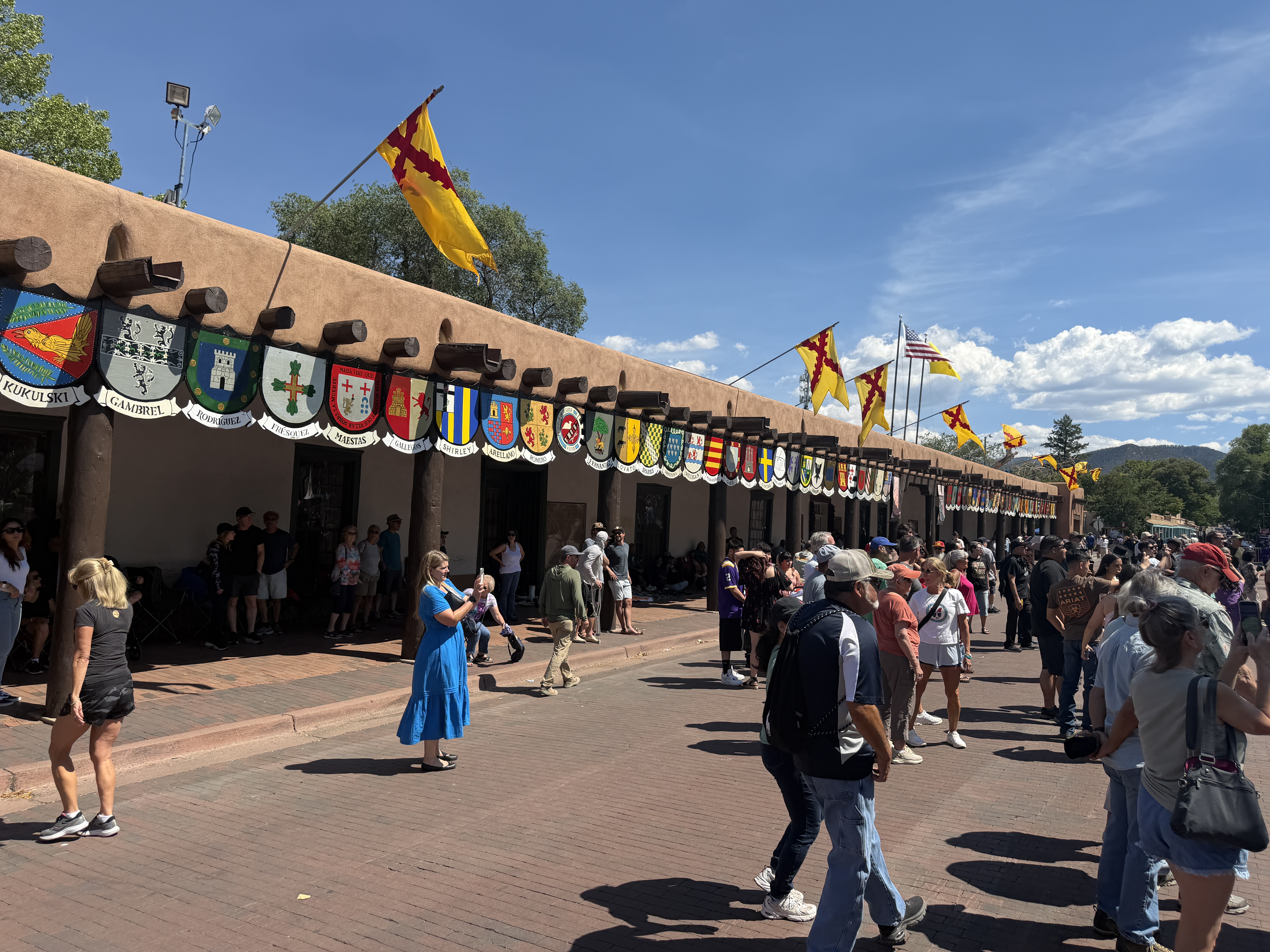
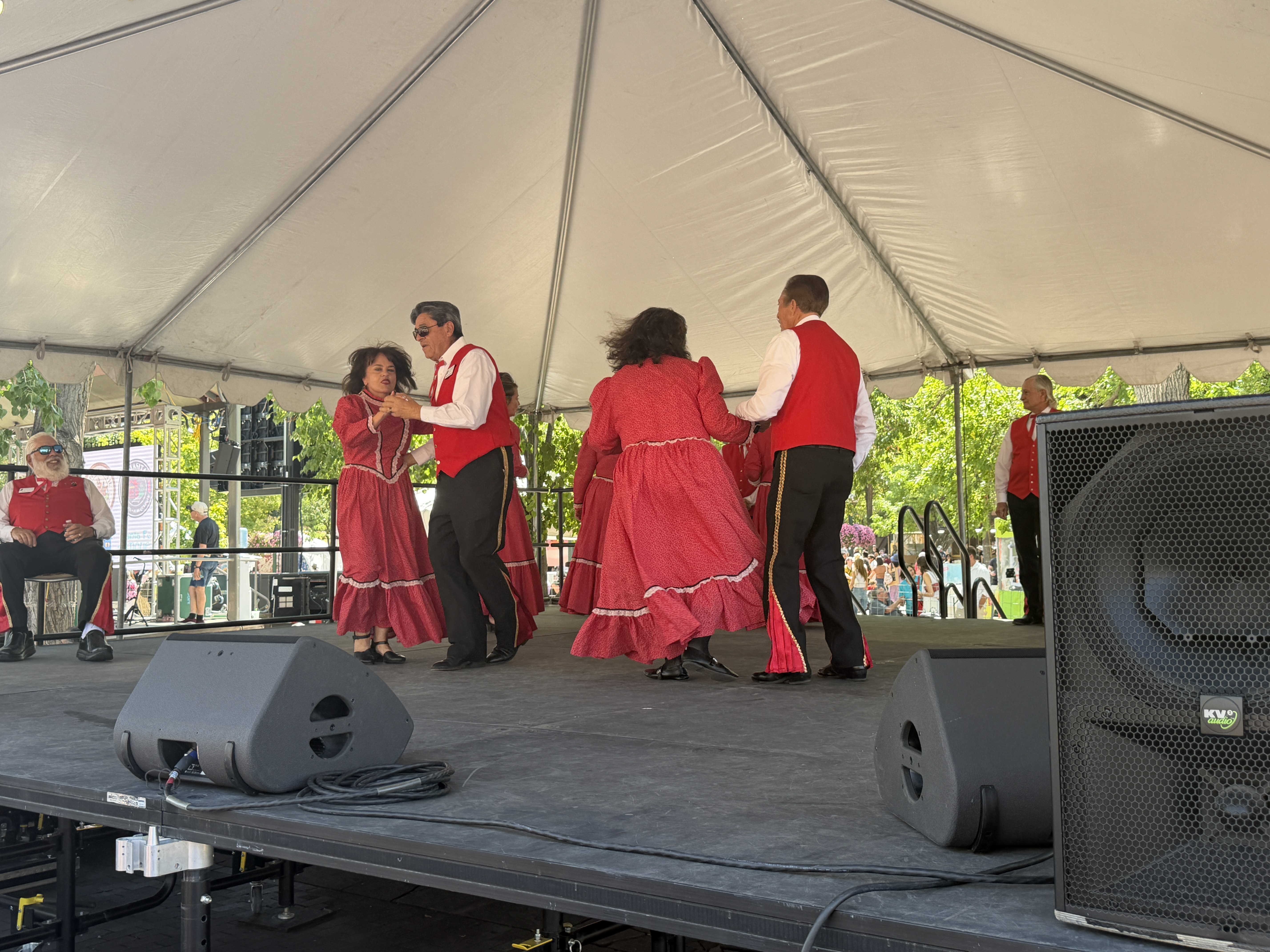
The plaza transforms was this vibrant open-air market filled with the smoky, sweet, and savory aromas of traditional New Mexican street food. The festival booths had regional recipes like;
- Green Chile Cheeseburgers – cheeseburgers with hatch green chilies
- Fry Bread – Fluffy, golden-fried Native American flatbread served fresh and hot
- Frito Pies – A bag of Frito corn chips split open and then smothered inside with thick, savory red chile meat sauce, pinto beans, melted cheese, and chopped onions.
And local sweets and desserts
- Biscochitos: This is apparently the official state cookie of New Mexico – .shortbread cookies flavored with anise and fresh orange zest, heavily dusted in a sweet mix of cinnamon and sugar.
- Sopapillas: Pillowy, puffy squares of fried dough served hot and fresh with honey
- Churros: Long, ridged batons of fried dough, crisp on the outside and soft on the inside, tossed in cinnamon sugar
After our tour of the plaza we walked into local gift shop to pick up souvenirs and New Mexico t-shirts. As we were walking back to the car, we saw the magnificent structure of the St. Francis Basilica. This basilica was built between 1869 and 1886 by Archbishop Jean-Baptiste Lamy, this cathedral features a distinct Romanesque Revival architecture with large stone blocks very different from the surrounding mud-brick adobe buildings.
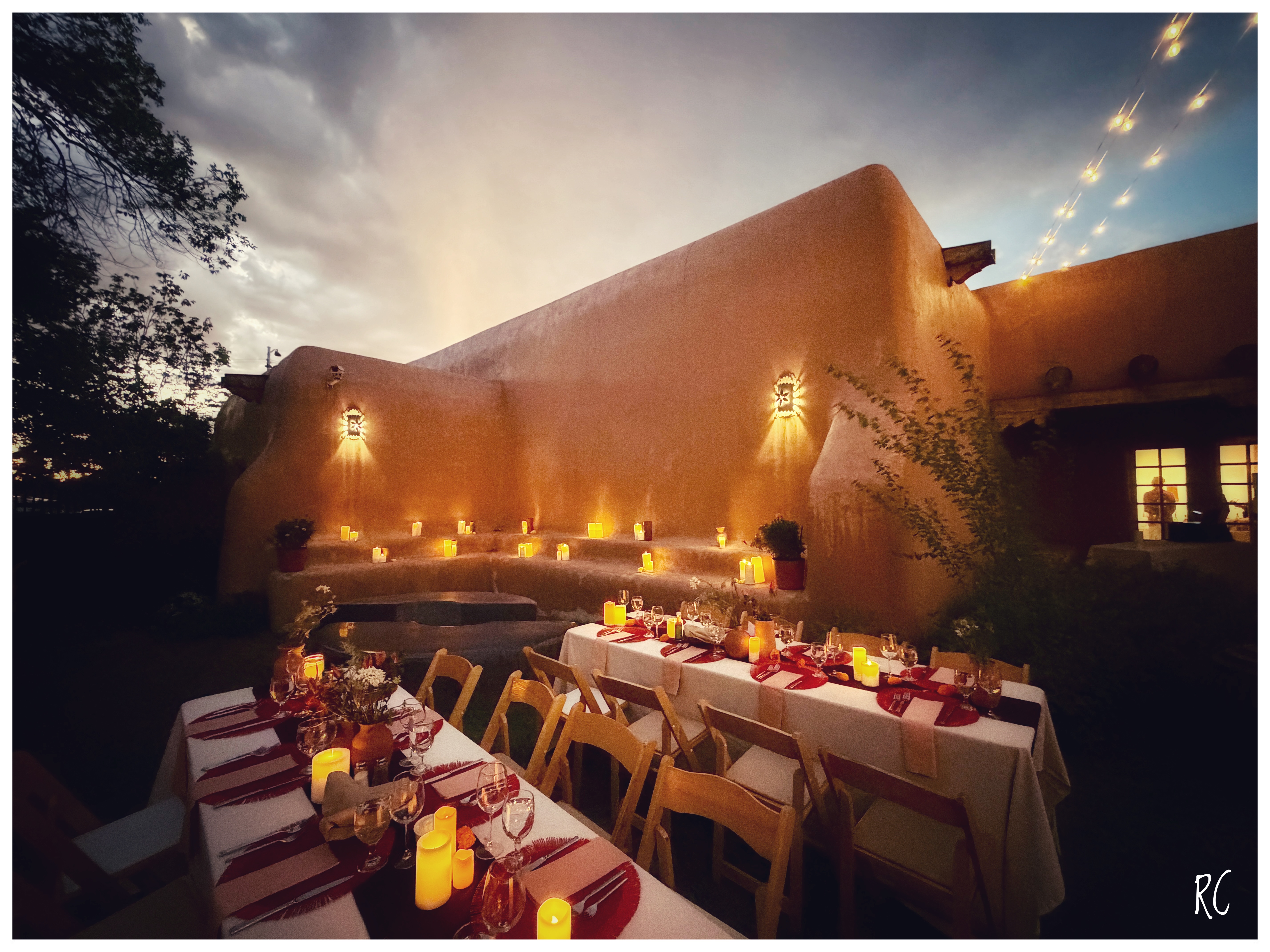
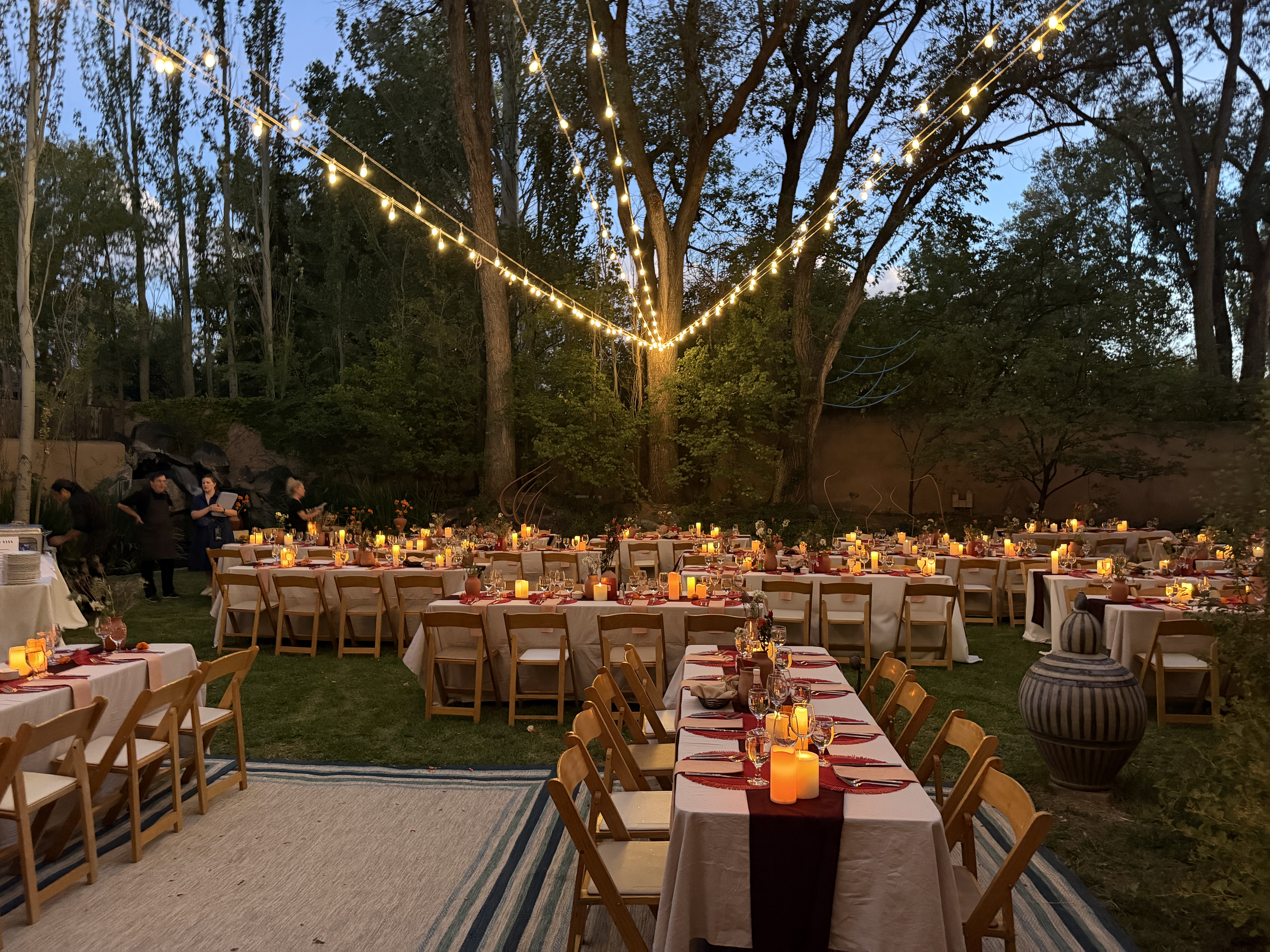
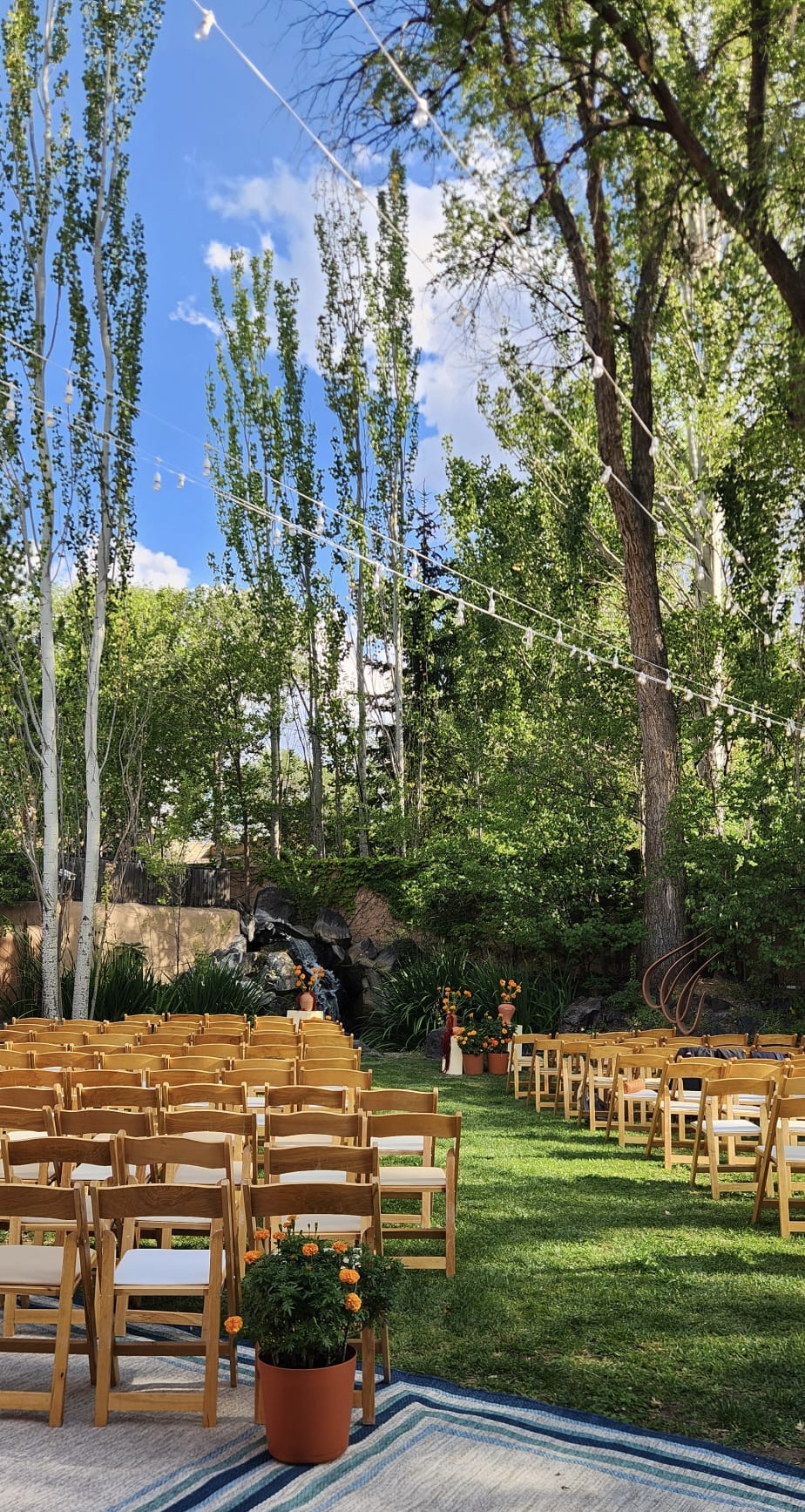
After a couple of pics, Ned and I were on our way back to the ranch. We cleaned up, changed in our formal wear and left for the wedding. It was at the beautiful Gerald Peters Contemporary, a prominent art gallery (right across from San Miguel Chapel). Hidden behind the gallery’s minimalist indoor exhibition, the outdoor space revealed an intimate, lushly landscaped, and fully enclosed courtyard with a multi-tiered koi pond and water falls. It was beautiful and a perfect setting for the wedding. The courtyard was beautifully lit up for an outdoor seated dinner after the wedding. After dinner we drove back to the ranch for our final night in Santa Fe.
Day 5 – Our beautiful holiday in Denver, New Mexico had come to an end. Our flight back home was from Albuquerque. We drove south on I 25 about 60 miles, dropping 800 feet in altitude, down the dramatic La Bajada escarpment to transition from mountain vistas into the wide, sweeping desert flats of the Rio Grande Valley. Albuquerque is a sprawling urban center in contrast to Santa Fe, a higher elevation mountainous boutique city.
We returned our rental car and took the shuttle back to the airport. Kim had kinda given us a heads up about the shops and shopping experiences that awaited us at the ABQ – the Albuquerque International Sunport. We paid our dues with some last minute shopping (trinkets for the girls) and a cuppa New Mexico Pinon Coffee.
We were ready to head back home after fantastic stay and some amazing experiences in New Mexico including a beautiful wedding celebration. Shout out to Ned and Kim for their fantastic hospitality.
Nuevo México… un lugar que verdaderamente se siente eterno. Buen viaje! (New Mexico… a place that truly feels timeless. Happy travels!)

 globalyatra
Leave a comment